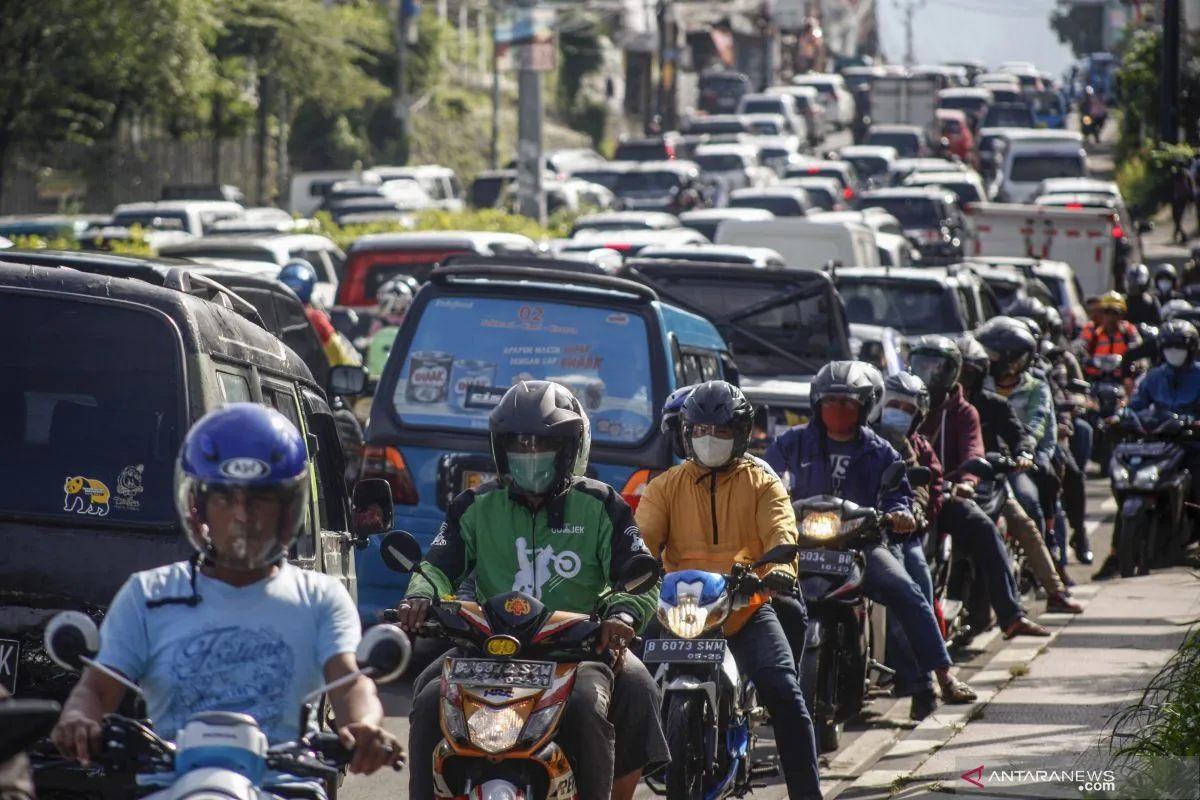
The map aims to assess the people's mobility index and the daily increase in COVID-19 cases in various areas, whether the large-scale social restriction (PSBB) measures are being implemented or not, and at the same time, carry out a semi real-time geDepok, W Java (ANTARA) - A multi-faculty team of academics at the University of Indonesia (UI) has formulated a map that charts community mobility and COVID-19 case spread using data collected from Facebook.
The map can be accessed on the UI COVID-19 Response Big Data Synergy Team’s official page and can serve as an input in the policy-making process for COVID-19 handling in Indonesia, said chief researcher Budi Wiweko.
"The map aims to assess the people's mobility index and the daily increase in COVID-19 cases in various areas, whether the large-scale social restriction (PSBB) measures are being implemented or not, and at the same time, carry out a semi real-time geo-spacial mapping," he said in a statement received here on Tuesday.
Wiweko, who is also deputy director for business and innovation development at the Indonesian Medical Education and Research Institute (IMERI) under the University's Medical School, explained that both the central and regional governments can use the map to evaluate policies aimed at handling people's mobility and their effectiveness in stemming the spread of COVID-19 infections.
"The map can also serve as a data resource in evaluating physical distancing strategies in the effort to reduce the number of COVID-19 cases," he continued.
The UI Big Data Synergy Team created the COVID-19 spread and mobility map based on data collected from Facebook users, who had consented to the use of their location data, which was distributed through the Facebook Data for Good program.
The data was then anonymously aggregated, ensuring the privacy of users.
"We have also implemented spatial smoothing and random noise additions to protect data privacy," said the map's initiator and deputy chief of the research team, Damar Susilaradeya.
He further explained that the mobility map is also recording the rise in daily COVID-19 cases at the provincial level, based on data from KawalCovid.
The map charts, among other data, the mobility of the people during religious and public holidays, including October 29, 2020, when the public holidays coincided with the Islamic holiday marking the birthday of Prophet Muhammad (PBUH).
The map shows the level of community compliance with the request for staying at home was recorded to be high in North Kalimantan, DKI Jakarta, and West Sulawesi. Meanwhile, lower rates were recorded in Bangka Belitung Islands, Bali, and Yogyakarta Special Region.
Susilaradeya laid emphasis on the importance of good risk communication to reduce the optimism bias and shift the perception of obstacles to implementing health protocols to control COVID-19 transmission.
He said he believes the government needs to stress on the key message, which is: anyone can be infected with COVID-19. It must also further encourage people to adhere to health protocols, he added.
(INE)
EDITED BY INE
Translator: Feru Lantara/Aria Cindyara
Editor: Fardah Assegaf
Copyright © ANTARA 2020


