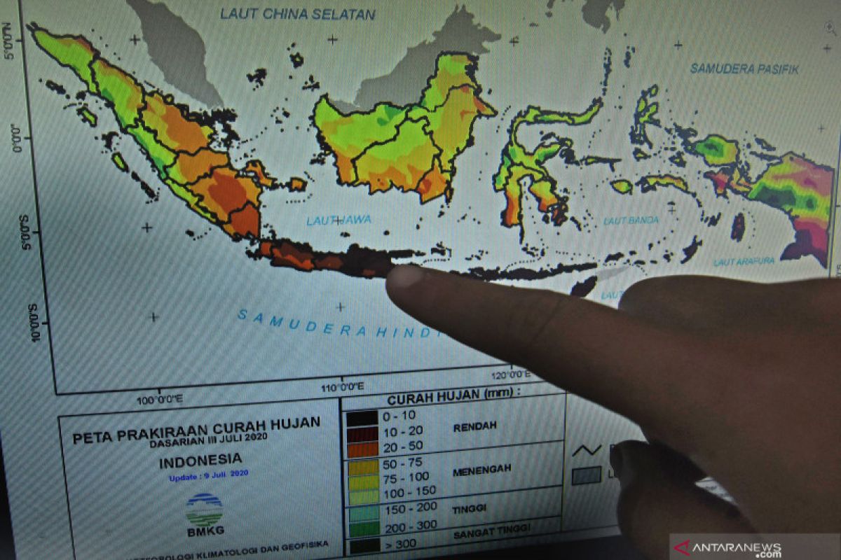
"Most areas are currently entering the peak of the rainy season, such as southern Sumatra, most parts of Java, including Jakarta, parts of Kalimantan, Bali, Nusa Tenggara, parts of Sulawesi, parts of Maluku, parts of West Papua, and parts of southern Papua,” BMKG Deputy for Meteorology Guswanto noted in a statement here on Wednesday.
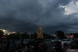
According to the BMKG analysis, unstable atmospheric dynamics in the next few days can increase the possibility of rain cloud growth in several regions of Indonesia.
This is due to the emergence of low pressure centers around Australia and the emergence of cyclonic circulation around northern Indonesia that affects the wind direction and speed patterns, thereby increasing the likelihood of rain cloud growth around Indonesia.
Furthermore, the conditions of strong atmospheric lability in parts of Indonesia also significantly influence the growth of rain clouds on a local scale.
Based on these conditions, heavy rains, accompanied by lightning or high winds, are forecast to occur during the next week in Aceh, North Sumatra, West Sumatra, Jambi, Bengkulu, South Sumatra, Lampung, Banten, West Java, Central Java, Yogyakarta, East Java, Bali, West Nusa Tenggara (NTB), East Nusa Tenggara (NTT), Central Kalimantan, South Kalimantan, East Kalimantan, North Kalimantan, Central Sulawesi, South Sulawesi, Southeast Sulawesi, North Maluku, Maluku, West Papua, and Papua.
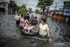
On the basis of impact-based forecasting (IBF), flash foods can potentially occur in Banten, West Java, Central Java, and East Java on February 10-11.
Meanwhile, sea waves, reaching a height of 1.25-2.5 meters, or moderate category, are forecast to occur next week in the waters north of Sabang, waters west of Aceh to Nias Islands, Bengkulu waters, Anambas-Natuna Islands waters, Natuna Sea, Lingga-eastern waters, Bintan, Karimata Strait, and Java Sea.
A similar occurrence is also likely in the Makassar Strait, Flores Sea, Bau-bau and Wakatobi waters, Sermata Island waters to Tanimbar, southern waters of the Kai-Aru Islands, Banda Sea, Sulawesi Sea, Sangihe-Talaud Islands waters, northern Maluku Sea, Halmahera Sea, waters north of West Papua to Papua, and Arafuru Sea.
Waves reaching a height of up to 2.5- 4 meters, or high category, are likely to occur in the North Natuna Sea, western waters of the Mentawai Islands, Enggano waters, western Lampung waters, western Indian Ocean, Mentawai Islands to Lampung, southern Sunda Strait, southern Java waters to Sumba Island, Southern part of Bali-Lombok-Alas Strait, and the Indian Ocean in the south of Java to NTT. Related news: BMKG projects downpour in Banten, Jakarta, West Java, Central Java
Related news: Over 5,300 homes flooded in W Java's Karawang district
EDITED BY INE
Translator: Desi P, Fardah
Editor: Suharto
Copyright © ANTARA 2021
