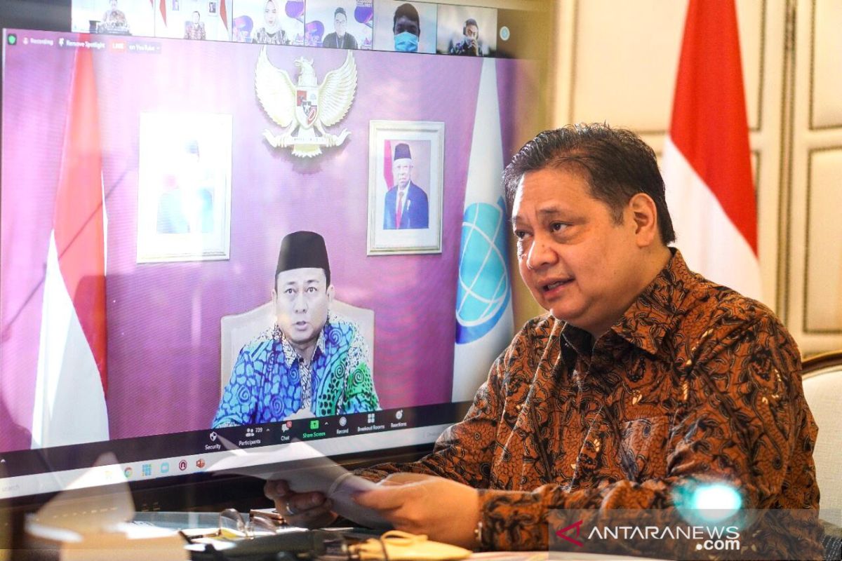
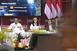
Development of priority infrastructure would need the support of integrated spatial planning that covers land, sea, and air space. Hence, the One Map Policy is crucial.Jakarta (ANTARA) - Geospatial information in the One Map Policy has played a significant role in development planning and economic growth, Coordinating Minister for Economic Affairs Airlangga Hartarto stated.
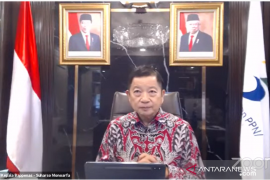
"The One Map Policy is a priority program aimed at creating a unified, accurate, and accountable map with the same scale," Hartarto noted during a national coordination meeting on geospatial information held virtually here on Thursday.
The information is needed to support development planning, infrastructure provision, issuance of licenses, concession, land rights, and spatial-based national policy.
Geospatial information describes the location and names of features beneath, on, or above the earth’s surface in a coordinate system.
Implementation of the One Map Policy is based on Presidential Decree No. 9 of 2016 wherein 85 thematic maps covering areas in 34 provinces were compiled and integrated.
The authority has identified the overlap in land utilization that covers 40.6 percent of Indonesia's total land area, or some 77.4 million hectares across the country.
Under Presidential Decree No. 23 of 2021, the one-map policy has expanded the target of thematic maps to 158 in economy, finance, disaster mitigation and maritime affairs.
"Development of priority infrastructure would need the support of integrated spatial planning that covers land, sea, and air space. Hence, the One Map Policy is crucial," the minister emphasized.
Related news: House passes geospatial information bill into law
The policy has been applied in the implementation of spatial-based national policy, including for the Online Single Submission (OSS), agrarian reform, infrastructure connectivity and economic equalization, and food estate development.
The minister is optimistic that the one-map policy would be optimized in the spatial-based information system, especially from the aspect of economy and investment to mapping economic potential.
Based on the aspect of social and public health, it supports the enforcement of community activities restrictions (PPKM), especially in disseminating information on the health situation in a region that covers the availability of health facilities, healthcare equipment, medicines, vaccine, and oxygen distribution.
"In addition, based on the aspect of environment and disaster mitigation, it supports mapping of conservation areas, disaster-affected areas, and other geospatial information," Hartarto stated.
Related news: President urges greater integration across all governmental levels
Translator: Kuntum K Riswan, Sri Haryati
Editor: Rahmad Nasution
Copyright © ANTARA 2021
