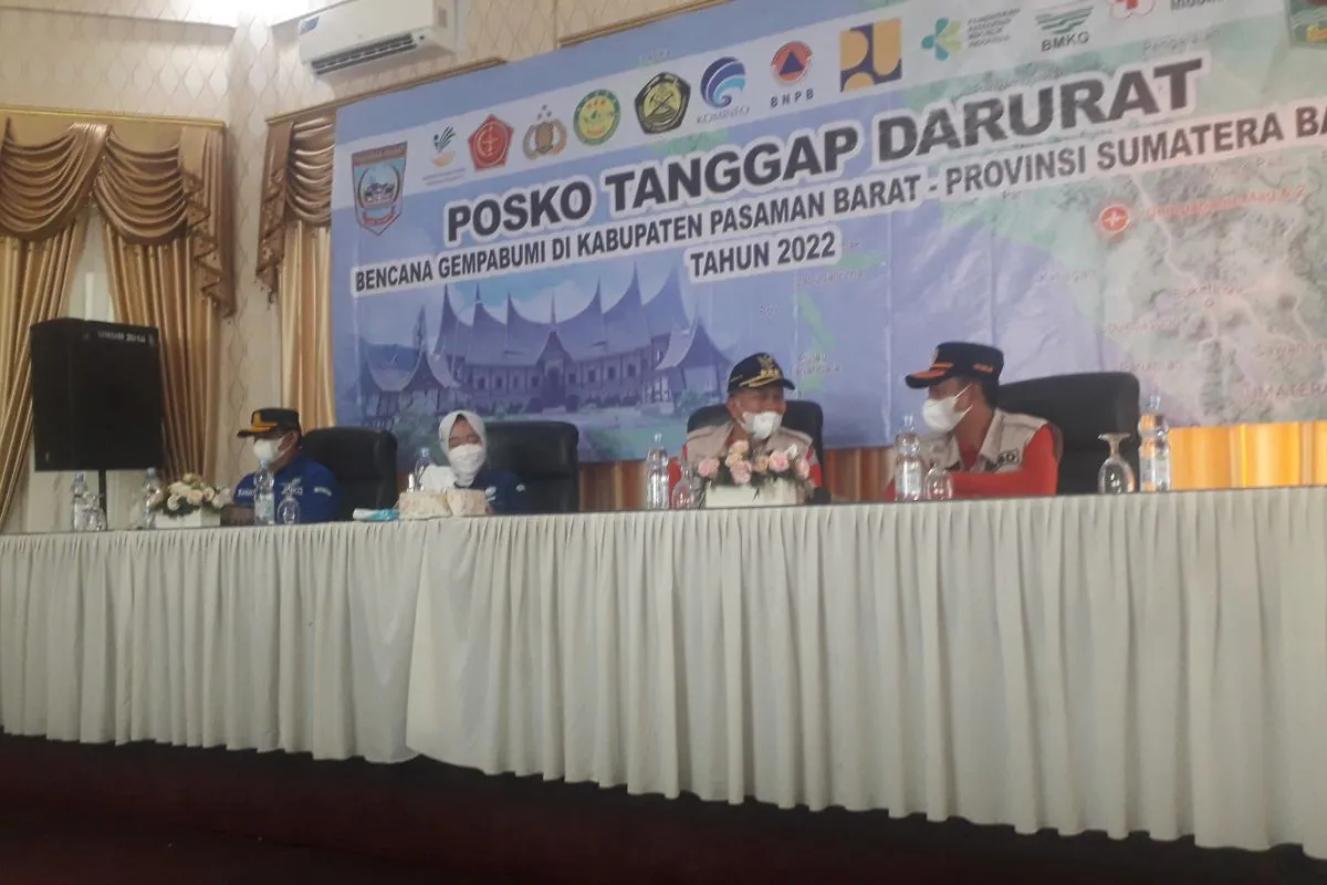
We have never provided information about the possibility of aftershocks with such a magnitudeSimpang Empat, W Sumatra (ANTARA) - Meteorology, Climatology and Geophysics Agency Head Dwikorita Karnawati confirmed that information about the possibility of an aftershock, with a magnitude of 7.5, in West Pasaman District, Sumatra, was false.
"We have never provided information about the possibility of aftershocks with such a magnitude, but it is about the likelihood of a fault earthquake or occurring in the angkola segment with the highest possible magnitude of 7.5. This was conveyed as an effort to mitigate the disaster," Karnawati noted in a statement received here on Sunday.
Karnawati remarked that the BMKG could not as yet confirm whether the earthquake that struck West Pasaman occurred in the Angkola, Sianok, or Semangko segments as well as the likelihood of a new fault.
"Currently, we are still studying the possible segment of the earthquake that occurred in West Pasaman," she stated.
Karnawati pointed out that aftershocks continued to occur, though the strength of the quake was getting weaker. The BMKG cannot as yet confirm the time of the earthquake. On the other hand, BMKG only provides predictions.
"People need to be vigilant, but they do not need to panic. Based on our data, aftershocks still occur but with a weaker magnitude," she remarked.
Karnawati emphasized that the earthquake had subsided. On the other hand, people should be aware of the likelihood of landslides.
"Residents need to prevent the impact of landslides from the slopes of Mount Talamau, as the landslide material can cause the river to overflow," she explained.
If the river flow is blocked and rains continue to occur, Karnawati noted that the river, containing material from the Mount Talamau, could find a new flow path, thereby threatening the lives of residents around the river.
"The avalanche can carry floodwaters that can hit residential areas," she noted.
The BMKG underscored the importance of mapping residential areas around the Mount Talamau while pressing for the need to temporarily relocate residents.
To this end, Karnawati stated that the River Hall, Regional Disaster Management Agency (BPBD), as well as the Public Works and Spatial Planning Office should conduct work to clear up piles of material in the river.
In the meantime, Head of the BMKG Potential Geophysical Engineering Seismology Center, Rahmat Triyono, remarked that the BMKG was currently continuing to conduct surveys to map the damage caused by the earthquake.
Moreover, the BMKG mapped land for relocation if the likelihood of an earthquake posed a threat to the lives of residents.
"It is necessary to measure the distance before relocating residents. We urge residents whose houses developed cracks to not stay there. The survey results will be published soon," he affirmed.
Triyono urged residents to not worry about news of possible strong aftershocks. On the other hand, residents are advised to be aware of the danger of landslides.
"Our focus on the segment that caused the earthquake in West Pasaman is to mitigate the impacts of the disaster," he stressed.
Meanwhile, West Pasaman District Head Hamsuardi stated that according to preliminary data, some two thousand houses were damaged, five people died, and around 10,500 people were displaced due to the earthquake that occurred on Friday.
Related news: A field kitchen truck deployed to help Pasaman's earthquake victims
Related news: Health posts treat 501 refugees of W Sumatra's earthquake
Related news: BNPB to review relocation of residents from Mount Talamau's slopes
Translator: Katriana
Editor: Sri Haryati
Copyright © ANTARA 2022


