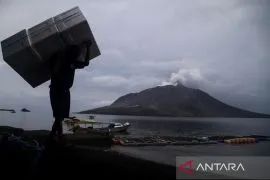
"Due to the hot clouds and volcanic ash rain, as many as 253 residents temporarily evacuated to a safer place," BNPB's Acting Head of Disaster Data, Information and Communication Center, Abdul Muhari, remarked here on Thursday.
Muhari noted that the evacuees comprised 60 residents from Klaten District, Central Java, and 193 residents from Sleman District, Yogyakarta.
Meanwhile, both Klaten Regional Disaster Mitigation Agency (BPBD) and Sleman BPBD have conducted assistance and provided logistical assistance to the evacuees.
Related news: Mount Semeru emits hot clouds reaching 4.5 kilometers
"The BPBDs of Klaten, Magelang, and Sleman have coordinated with the Geological Disaster Technology Research and Development Center (BPPTKG) and through cross-agency collaboration to conduct a quick study, monitoring, and evacuation (for) residents living around the slopes of Mount Merapi," he explained.
Muhari stated that the three BPDBs have urged all residents approaching the slopes to immediately stay away from the dangerous zones.
"Residents are also urged to immediately convene at the gathering point to ease the team in conducting assistance and evacuation," he remarked.
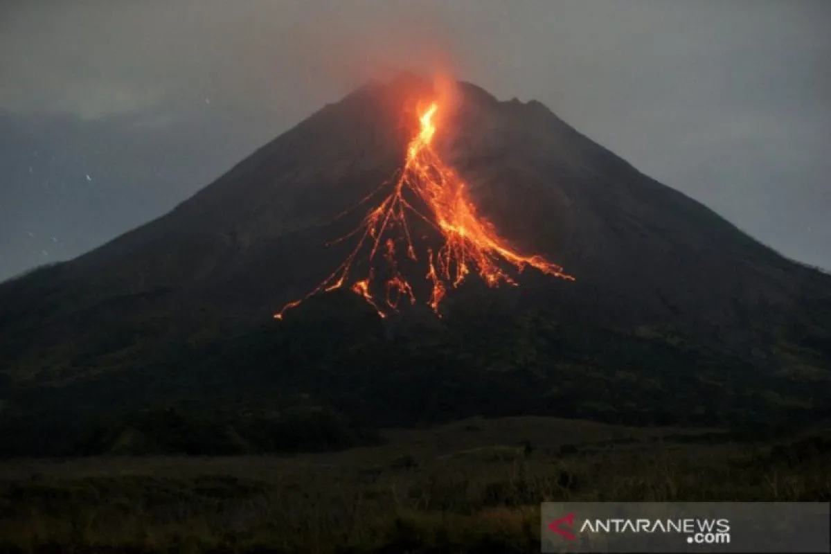
Mount Merapi showed an increase in activities by emitting hot clouds, spewing as far as five km that flew southeast on Wednesday (March 9, 2022) since 11:18 p.m. local time.
Related news: Govt to help children orphaned by Mt Semeru eruption
Moreover, incandescent lava falls were observed to have occurred seven times, with a maximum sliding distance of 1,800 meters to the southwest.
Meanwhile, the BPPTKG reported that some areas that are likely exposed to the dangers of lava and hot clouds in the south-southwest sector were Boyong River, as far as five km; and the Bedog River, Krasak, Bebeng, as far as seven km.
The agency noted that areas prone to the dangers of lava and hot clouds in the southeast sector covers the Woro River as far as at three km and the Gendol River up to five km. In case of an explosive eruption, volcanic materials can reach a radius of three km from the summit.
The BPPTKG maintains the status of Mount Merapi at Level III or Alert.
Related news: BMKG's additional sensors to improve tsunami early warning system
Related news: Women MSME players and national economic strength
Translator: Luqman H, Kenzu T
Editor: Fardah Assegaf
Copyright © ANTARA 2022