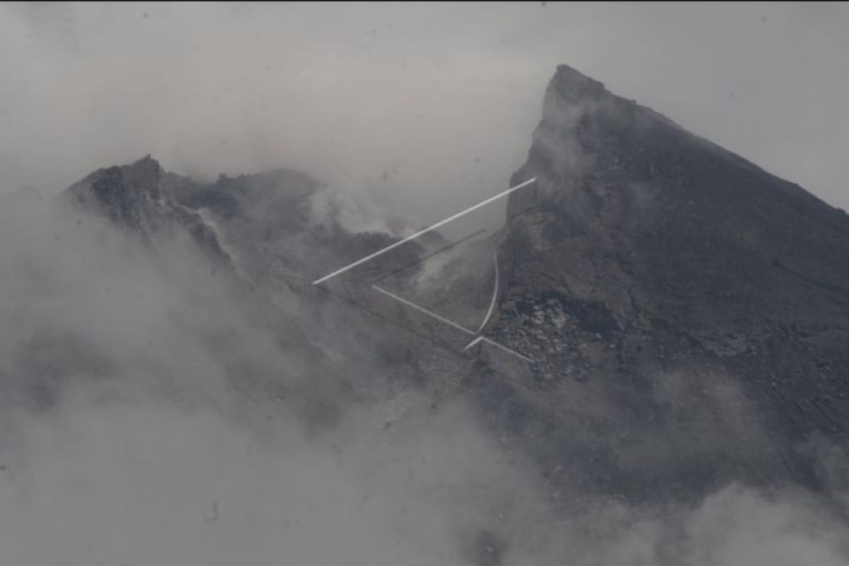
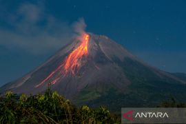
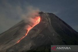
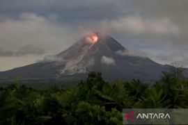
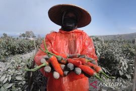
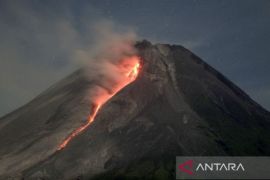
"According to the latest observation data (on March 14, 2022), there is no indication that a major eruption will occur in Mount Merapi," the agency's head, Hanik Humaida, said in a written statement issued in Yogyakarta on Tuesday.
Humaida clarified that despite more eruptions occurring in Mount Merapi, Yogyakarta city, which is located 28 kilometres south of the volcano, would remain safe from the dangers posed by the eruption.
However, volcanic ash spewed by Merapi, affected by wind direction and eruption intensity, may still reach Yogyakarta city, she added.
"During the 2018–2022 eruption period, we recorded only two instances when volcanic ash from Mount Merapi reached Yogyakarta city," the Humaida noted.
She confirmed that several tourism destinations included on the visit itinerary of G20 meeting delegates during their stay in Yogyakarta Province would remain safe from eruption danger.
All tourism destinations located outside the danger area designated by BPPTKG can also continue normal operation, she said.
"Almost all tourism destinations in Yogyakarta province are located outside the eruption danger area," Humaida noted.
She also confirmed that the renowned Borobudur site in Magelang, Central Java, located 27 kilometers southwest of Mount Merapi, will remain safe from the eruption danger.
"The current danger might be the volcanic ash from the eruption that may reach Borobudur; yet it depends on the intensity, direction, and wind condition during the eruption," the agency's head said.
Related news: 193 Mt. Merapi evacuees return home
To date, the BPPTKG has continued to maintain the status of the mount at Level III or on alert status.
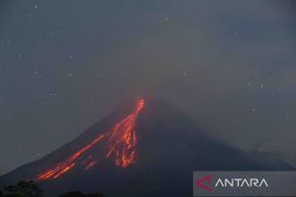
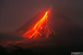
Humaida said that potential hazards, such as lava flows and hot clouds, could affect areas in the south-southwest that include Boyong River, as long as five kilometers (km), and Bedog, Krasak, and Bebeng rivers for a maximum of seven km.
Meanwhile, potential hazards can also have an impact in the southeast that includes Woro River, for a maximum of three km, and Gendol River, up to five km.
Humaida stated that the volcanic material spewed during the eruption could reach several areas within a radius of three km from the mountain's peak.
Related news: Mt. Merapi's recent eruption triggers evacuation of 253 residents
Translator: Luqman Hakim, Nabil Ihsan
Editor: Rahmad Nasution
Copyright © ANTARA 2022
