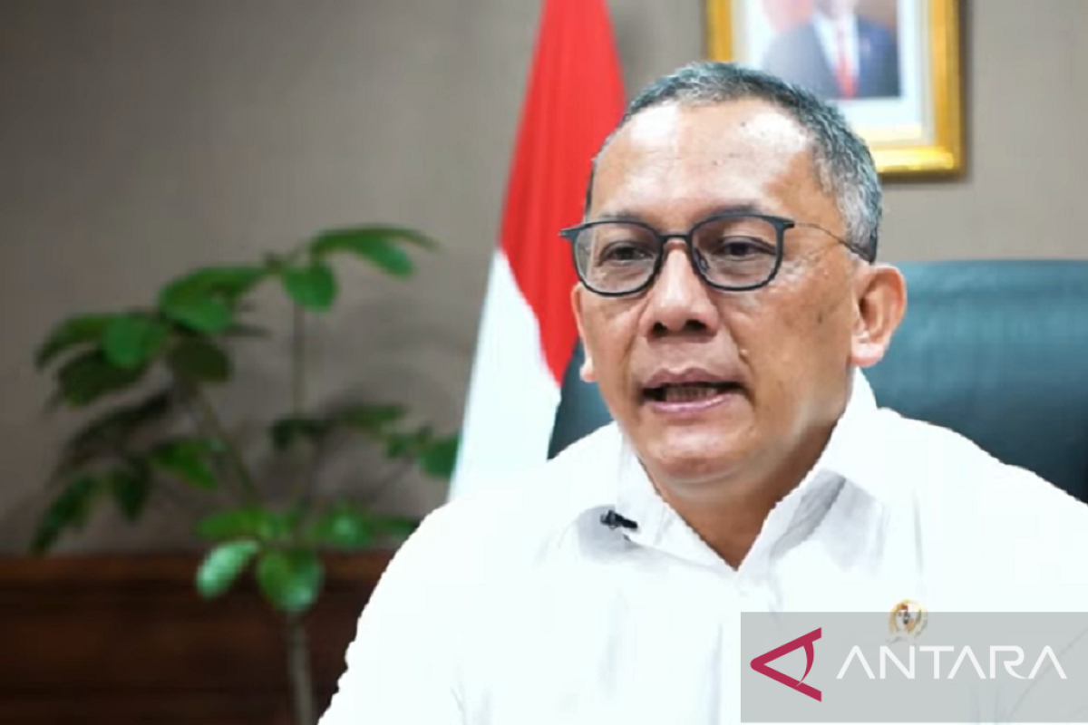
All of them will be managed and operated professionally by us, thus we will also cooperate with various partners from the business sector.Jakarta (ANTARA) - The National Research and Innovation Agency (BRIN) is striving to strengthen and attain self-reliance in obtaining satellite image data through its own remote sensing technology, BRIN Head Laksana Tri Handoko has said.
He conveyed the information at the 2022 National Coordination Meeting for Remote Sensing and Satellite Imagery, themed “Sustainability of Remote Sensing Data and Information Services: BRIN's Commitment to Providing Excellent Service,” here on Tuesday.
The agency head said he expected that through the meeting, the users of BRIN’s satellite imaging services, such as ministries/state institutions, local governments, state-owned enterprises (SOEs), and business actors can provide inputs regarding the services.
Currently, the agency is devising a comprehensive plan to own and develop operational satellites to provide more remote sensing data optimally with various levels of accuracy.
Related news: Developing strategic research infrastructure to bolster innovation
BRIN will equip the satellites with sensors and equipment to observe changes in the weather, thus the facility can support the Meteorology, Climatology, and Geophysics Agency (BMKG) in making more accurate weather predictions in the future.
"All of them will be managed and operated professionally by us, thus we will also cooperate with various partners from the business sector," Handoko said.
In addition, he invited business actors to collaborate with the agency for managing telecommunication ground stations that are currently operated fully by BRIN.
Furthermore, he encouraged the agency’s human resources to increase their capacity and competence in obtaining and processing satellite imagery and remote sensing data so that BRIN can provide better services to users of such data in Indonesia.
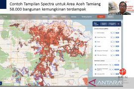
On the same occasion, the head of BRIN also highlighted the important function of satellite imagery and remote sensing data in supporting efforts to mitigate disasters and climate change as well as efficiently utilize natural resources.
Related news: Democratic political culture key for democratization: BRIN
Translator: Martha Simanjuntak, Uyu Liman
Editor: Rahmad Nasution
Copyright © ANTARA 2022
