#satellite imagery
Collection of satellite imagery news, found 15 news.
Minister of Environment Hanif Faisol Nurofiq stated that the Ministry of Environment will evaluate mining activities in ...
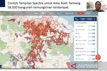
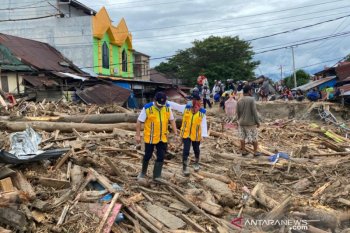
Around 58,000 buildings were damaged by a hydrometeorological disaster in Aceh Tamiang, Aceh, the National Research and ...
Devastating floods and landslides ravaged numerous districts and cities in Indonesia’s Aceh, North Sumatra, and ...
Indonesia’s National Research and Innovation Agency (BRIN) is supplying satellite imagery to accelerate disaster ...
Hong Kong Science & Technology Parks Corporation (HKSTP), the city's largest innovation and technology ...
Forestry Minister Raja Juli Antoni stressed that he will take firm action against illegal mining activity carried out ...
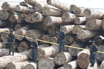
The Indonesian authorities have uncovered illegal logging operations in the Mentawai Islands, confiscating 4,610.16 ...
The application of blue economy in Indonesia should be combined with integrated supervision to control the ...
The National Institute of Aeronautics and Space (LAPAN) has collaborated with several institutions to identify ...
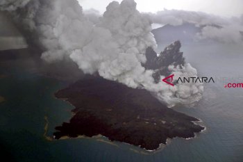
Mount Anak Krakatau is most likely to trigger more landslides or avalanches, according to an official of the ...
People around the globe are usually happy in the face of the year end as they are ready to celebrate Christmas and New ...
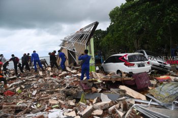
The Meteorology, Climatology and Geophysics Agency (BMKG) said that the tsunami that occurred in the Sunda Strait on ...
"Save the Children Indonesia" has held reunions for 86 children, who separated from their parents and family ...
The Indonesian Institute of Sciences (LIPI) reported that the El Nino natural phenomenon that occurred during the ...
More than 172,000 people have crossed Libya`s borders into Tunisia and Egypt in the past week, said a top UN official ...
