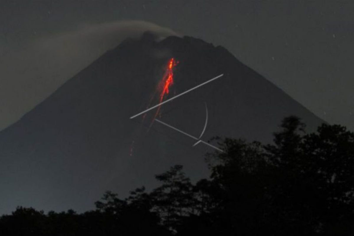
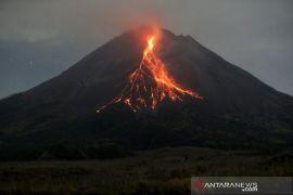
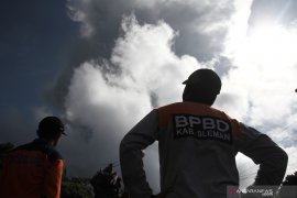
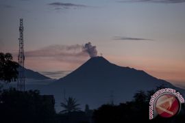
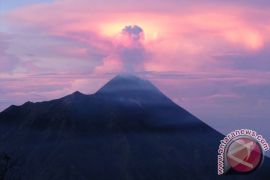
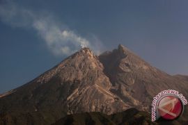
"Lava avalanches were (erupted) 101 times to the southwest, dominantly toward Bebeng River, with a maximum gliding distance of 1,800 meters," BPPTKG head Agus Budi Santoso informed in Yogyakarta on Saturday.
According to observations made between May 27 and June 2, 2022, the active volcano also spewed hot clouds to the southwest or the upper part of Bebeng River, with a gliding distance of 1,500 meters, he said.
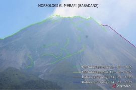
Meanwhile, there was no change in height, neither in the southwest nor the central dome, based on an analysis from the Deles5, Tunggularum, and Babadan2 Camera Stations, he added.
"Based on a photo analysis, the volume of the southwestern lava dome is 1,551,000 cubic meters, and the central dome is 2,582,000 cubic meters," he explained.
Related news: No indication of major eruption in Mt. Merapi: BPPTKG
However, Mt. Merapi's seismic intensity rate over the past week has still been quite high, he cautioned.
The surface deformation of Mt. Merapi, which was monitored using EDM (Electronic Distance Measurement), also showed a shortening rate of 0.4 cm per day, Santoso said.
Furthermore, it rained at the Mount Merapi Kaliurang Observation Post, with the rainfall intensity recorded at 53 mm per hour for 125 minutes on Tuesday (May 31, 2022), he added.
"There was no cold lava flooding or additional flow in the rivers coming from Mount Merapi," he said.
So far, BPPTKG has maintained Mount Merapi’s status at Level III or on alert.
If Mt. Merapi emits an explosive eruption, the volcanic materials can reach a radius of three kilometers from the top, BPPTKG said.
Related news: Mt. Merapi's recent eruption triggers evacuation of 253 residents
Translator: Luqman H, Kenzu T
Editor: Suharto
Copyright © ANTARA 2022
