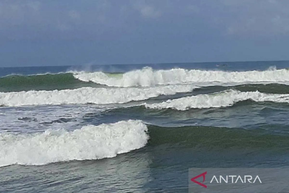
Today (June 24), again, we have issued an early warning of high waves in line with the changes in weather conditions in the southern seas of West Java and YogyakartaCilacap (ANTARA) - The Meteorology, Climatology and Geophysics Agency (BMKG) forecast a risk of very high waves, ranging from four to six meters, to occur along areas southward of Java Island, particularly West Java, Central Java, and Yogyakarta.
"Today (June 24), again, we have issued an early warning of high waves in line with the changes in weather conditions in the southern seas of West Java and Yogyakarta," head of the Technician Unit of the Cilacap Meteorological Station of Tunggul Wulung at the Meteorology, Climatology and Geophysics Agency, Teguh Wardoyo, stated in Cilacap, Central Java, on Friday.
During the earlier high wave early warning, it was stated that the wave height of four to six meters, or very high category, only has the potential to occur in the Indian Ocean region south of West Java to Yogyakarta, while in the southern waters of West Java to Yogyakarta, it was estimated to be around 2.5-4 meters, or categorized as high, he elaborated.
In the latest high wave early warning issued on Friday, the risk of very high waves, ranging from four to six meters, also included the southern waters of West Java to Yogyakarta, apart from the Indian Ocean southwards of those areas.
Related news: Jakartans asked to mask up as air quality moves to unhealthy
The increase in wave height was caused by the dominant wind pattern in the southern part of Indonesia, which moved from the east-southeast, with wind speeds ranging from 10 to 25 knots.
The highest wind speeds were observed in the waters of Mentawai Islands, western waters of Lampung, western Sunda Strait, southern waters of Java Island, Badan Sea, Yos Sudarso waters, Merauke waters, and Arafuru Sea.
"Wind movement that tends to be in the same direction as the high speed can trigger high waves. Additionally, the southern waters of West Java to Yogyakarta are currently in the east wind season," Wardoyo pointed out.
He appealed to all marine service users to be cautious of the risk of high waves, as wind speeds of more than 15 knots and wave heights above 1.25 meters posed a risk to fishing boats.
Related news: Indonesia shares experience on disaster risk mitigation with Jordan
Wind speeds of more than 16 knots and wave heights above 1.5 meters pose a risk to barges; wind speeds of more than 21 knots and wave heights above 2.5 meters present a danger to ferries; and wind speeds of more than 27 knots and wave heights exceeding four meters pose a threat to large-sized ships, such as cargo and cruise ships.
People living and working in the coastal areas where high waves were likely to occur were advised to remain cautious at all times.
Tourists visiting the beach were advised to not bathe or play in the water, especially in coastal areas, where the risk is high, since high waves can occur at any time.
"This early warning for high waves is valid until Sunday, June 26, 2022. If there are further (changes), we will immediately update and inform the public," Wardoyo concluded.
Related news: 2nd ETWG session stresses energy access, partnership, affordability
Related news: G20 Summit and hope of expedited recovery in Bali
Translator: Sumarwoto, Mecca Yumna
Editor: Fardah Assegaf
Copyright © ANTARA 2022


