The local government highly supports the North Natuna Sea Focus Group Discussion activity since it can clarify the mapping of the Natuna waters as well as find out the potentials of Natuna Sea.Natuna, Riau Islands (ANTARA) - Indonesian Navy’s Hydro-Oceanography Center (Pushidrosal) held a Focus Group Discussion (FGD) on the use of hydro-oceanographic survey data for determining the country's maritime border in the Natuna Sea, Riau Islands Province.
"The FGD was held for information sharing and obtaining various inputs from related institutions and experts to formulate policies in determining the national maritime border," Commander of Pushidrosal Vice Admiral Nurhidayat noted in a press release on Thursday.
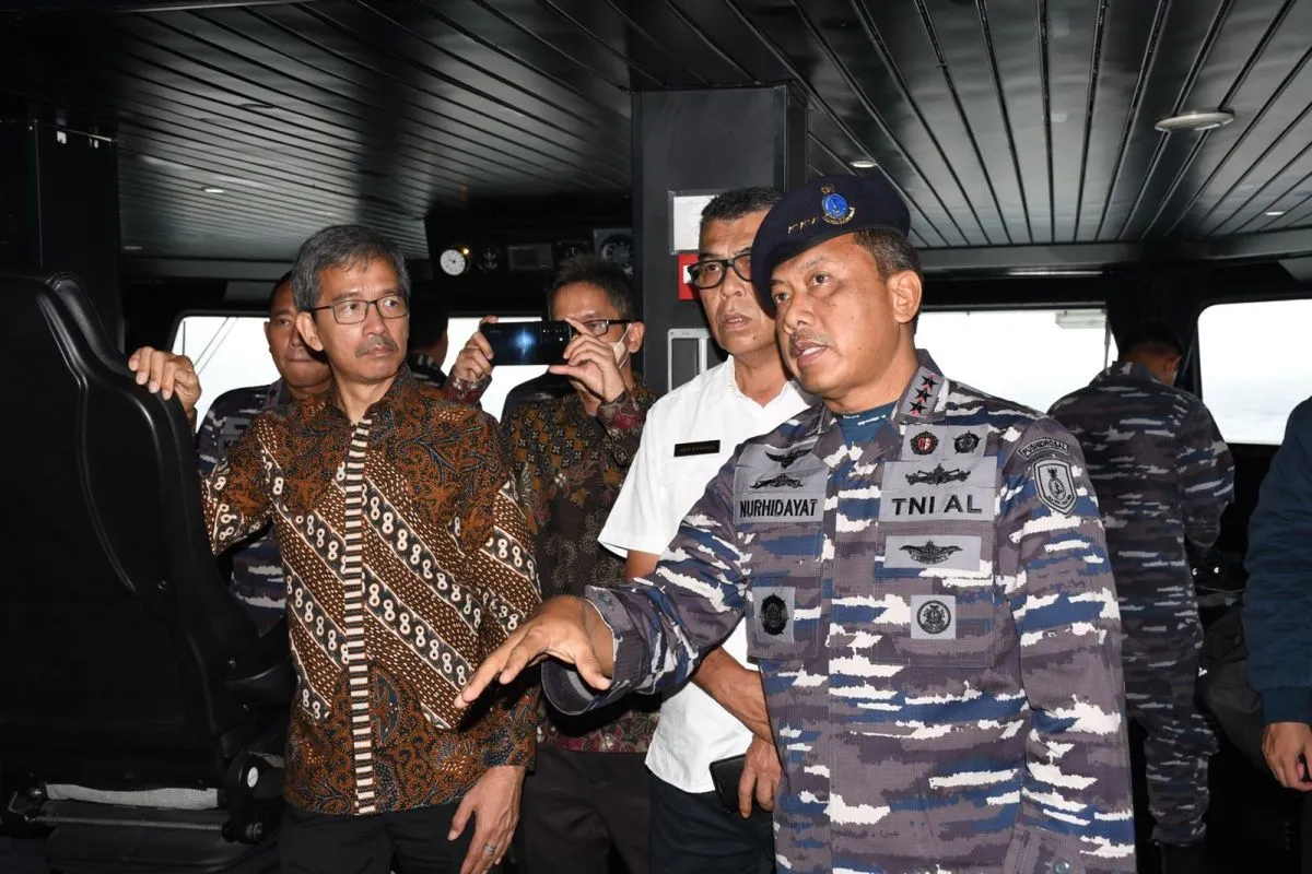
He remarked that the FGD was held in the Lounge Room of Indonesian Ship (KRI) Spica-934 while sailing over the Natuna Sea on Wednesday (November 9, 2022) and was attended by representatives of several related institutions.
Related news: Jokowi issues Natuna Sea zoning regulation to boost border security
Those agencies comprised the Coordinating Ministry for Maritime Affairs and Investment, Foreign Affairs Ministry, Defense Ministry, as well as Geospatial Information Agency (BIG).
The Pushidrosal commander noted that the FGD discussed the use of hydro-oceanographic data to support maritime boundary delimitation and improvement of maritime information in the military map of border areas.
"The FGD also presented the (recent) results of the ongoing hydro-oceanographic survey conducted by KRI Spica-934 in the Natuna waters," he stated.
The meeting also spoke about the use of hydro-oceanographic survey data for the determination of Indonesia’s maritime borders as well as the development of maritime border negotiations with several neighboring countries.
Related news: New oil, gas deposits found in Natuna: SKK Migas
"(During the FGD), the director general of HPI (Legal Affairs and International Treaties) at the Foreign Affairs Ministry, L. Amrih Jinangkung, informed about developments pertaining to the maritime boundary negotiations between Indonesia and Vietnam as well as Indonesia and Malaysia," Nurhidayat noted.
In addition to attending the FGD, he also disbursed 50 food assistance packages to the fishermen and surrounding communities at the Selat Lampa Pier, Natuna District, Riau Islands Province.
On the same occasion, Head of Natuna District Wan Siswandi was showed several survey equipment, such as the EM-302 Multibeam Echosounder, Remotely Operated Vehicle H800, as well as Autonomous Underwater vehicle Hugin 1000.
"The local government highly supports the North Natuna Sea Focus Group Discussion activity since it can clarify the mapping of the Natuna waters as well as find out the potentials of Natuna Sea," he added.
Related news: G20 offers momentum to boost investors' trust in Indonesia: Minister
Related news: G20 Summit preparations are fully complete: Pandjaitan
Translator: Cherman, Uyu Liman
Editor: Fardah Assegaf
Copyright © ANTARA 2022