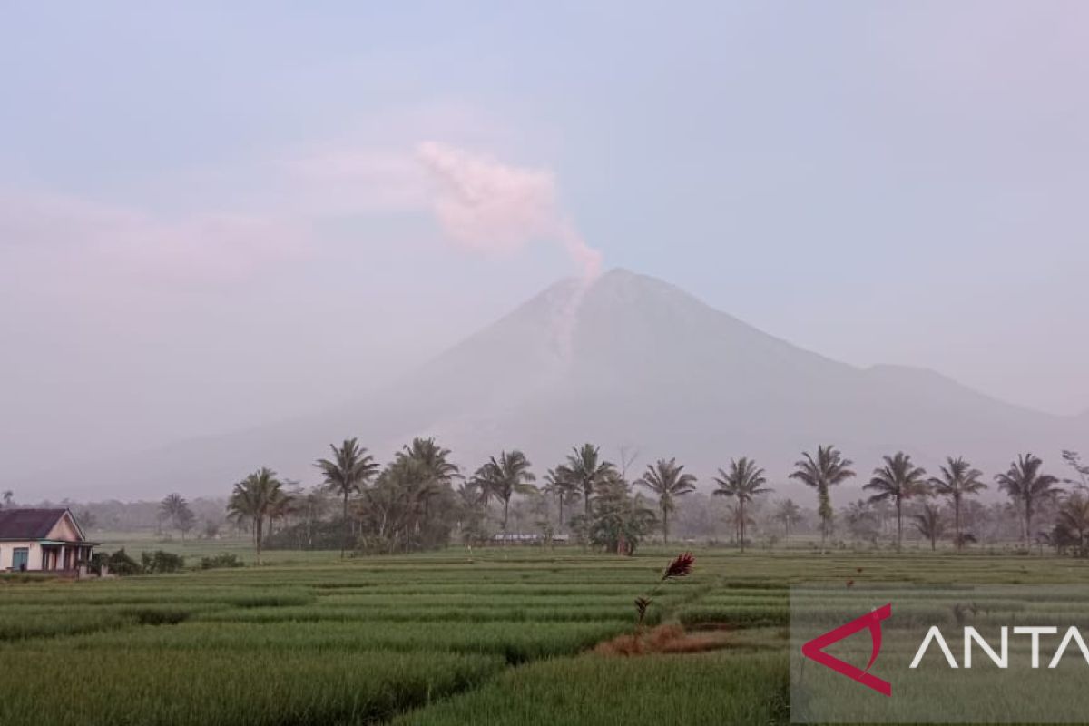
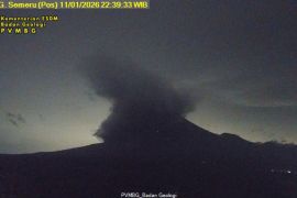
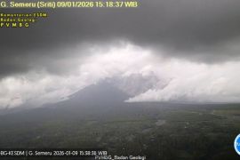
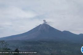
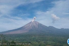
Based on today's seismic observations on Monday from 00:00-06:00 local time, Mount Semeru spewed avalanches of hot clouds, with an amplitude of 25 mm and an earthquake duration of 386 secondsLumajang, East Java (ANTARA) - Mount Semeru in Lumajang District, East Java Province, at 3,676 meters in elevation, continues to spew avalanches of hot clouds, with an amplitude of 25 mm and earthquake lasting 386 seconds on Monday.
"Based on today's seismic observations on Monday from 00:00-06:00 local time, Mount Semeru spewed avalanches of hot clouds, with an amplitude of 25 mm and an earthquake duration of 386 seconds," officer at the Semeru Volcano Observation Post (PPGA) Mukdas Sofian noted in a written statement, Monday.
In addition, Mount Semeru experienced 29 eruptions, with an amplitude of 11-22 mm and an earthquake duration of 65-120 seconds, he added.
Mount Semeru's activity was also recorded with six earthquakes having an amplitude of 1-8 mm and an earthquake duration of 50-140 seconds, one deep volcanic earthquake, and one distant tectonic earthquake, Sofian remarked.
Related news: Some 1,979 residents evacuated due to Mount Semeru eruption: BNPB
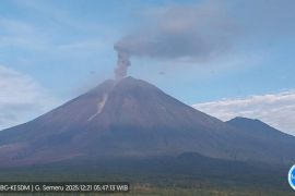
"Based on visual observations, Mount Semeru is clearly visible, with white crater smoke, with thin to moderate intensity, that reaches 500 meters from the summit, and then weak winds to the southwest," he remarked.
The status of Mount Semeru has increased from Level III (Alert) to Level IV (Caution) since December 4, 2022, at 12:00 local time. The Volcanology and Geological Disaster Mitigation Agency (PVMBG) has provided several recommendations for people to follow.
The community was advised against conducting activities in the southeastern sector along Besuk Kobokan River, as far as 13 km from the peak or the eruption center.
Moreover, people are not allowed to engage in any activities at a distance of 500 meters from the riverbank along Besuk Kobokan since it can likely be affected by the expansion of hot clouds and lava flows up to a distance of 17 km from the summit.
Related news: Gov't asks people in red zone of Mount Semeru eruption to evacuate
People are also urged to not venture within a five-km radius of the crater or top of Mount Semeru owing to the danger of rocks from the mountain.
Sofian also reminded people to be aware of the potential for hot cloud avalanches, lava avalanches, and lava along rivers or valleys that start at the top of Mount Semeru, especially along Besuk Kobokan, Besuk Bang, Besuk Kembar, and Besuk Sat as well as the potential for lava in small rivers that also connect to Besuk Kobokan River.
Earlier, the PVMBG reported that Mount Semeru had erupted on Sunday at 2:46 a.m. local time. It emitted hot cloud, with an eruption column height reaching 1,500 meters above the peak.
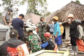
The National Disaster Mitigation Agency (BNPB) recorded that 1,979 people took refuge at 11 places after the mountain erupted.
Related news: Disregard hoaxes on Mount Semeru eruption: Lumajang District head
Related news: Flights at Juanda airport not disrupted by Mount Semeru's eruption
Translator: Zumrotun Solichah, Resinta S
Editor: Fardah Assegaf
Copyright © ANTARA 2022
