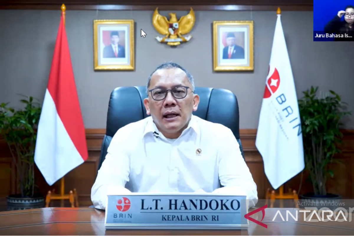
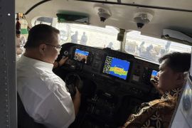
"We also have a fleet of observation aircrafts, conventional aircrafts, along with unmanned drones since obtaining data from the sky is important," BRIN head Laksana Tri Handoko said in a statement released on Wednesday.
Indonesia needs to master advanced technology for analyzing data using algorithms and supercomputer technology as well as processing data, whether through conventional methods or artificial intelligence (AI) from big data.
To this end, BRIN is encouraging the creation of a new database and science-based economy for start-ups to utilize the data.
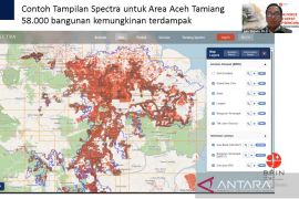
The agency is providing data to start-ups to create applications related to fishery, disaster mitigation, plantation and agriculture, ocean waste, weather and climate, mapping, territorial planning, and carbon tax and trade.
BRIN also has five land stations for downloading data and controlling satellites, both communication satellites and remote sensing satellites.
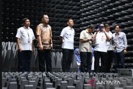
In addition, the agency is constructing a sun and space observation station in Kupang, East Nusa Tenggara, that would support data monitoring and gathering activities as well as research and development.
Starting in 2023, BRIN will deploy unmanned multifunction field stations in forests, plantations, rivers, lakes, and seas across Indonesia.
The field stations will be equipped with multiple sensors for monitoring climate and biodiversity and making observations using camera, voice, recording, and radioactive monitor systems.
BRIN is also expediting the creation of 19 remote sensing satellite constellations: four with optical sensors, four with synthetic aperture radars, and the rest being Internet of Things (IoT) satellites.
The effort is intended to obtain high-quality data sustainably with the best cost benefits.
Related news: BRIN supports biodiversity utilization for green, blue economy at G20
Related news: BRIN to aid 'beyond ordinary' development in technology: ministry
Translator: Martha H S, Fadhli Ruhman
Editor: Rahmad Nasution
Copyright © ANTARA 2022
