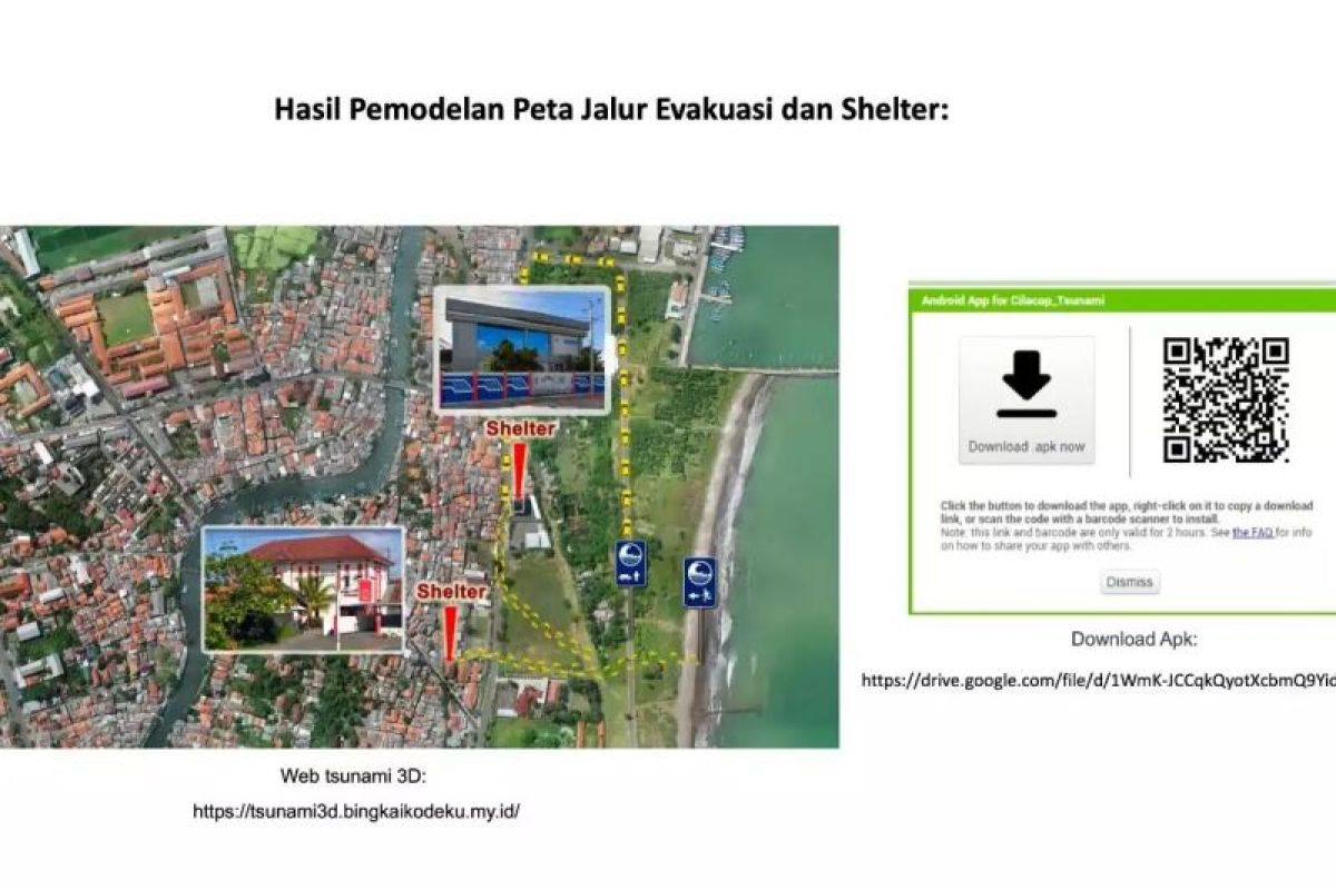
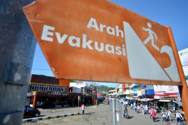
“The research aims to create a tsunami evacuation route and determine an assembly point,” PRSDI BRIN junior researcher Yudhi Rezaldi stated in Jakarta on Wednesday.
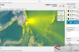
Rezaldi explained that a tsunami inundation area is visible through a process of 3D orthomosaic or processing data from aerial photos, which is then combined with a tsunami animation.
BRIN chose Cilacap, Central Java, as the research location for tsunami modeling. The method is flying Unmanned Aerial Vehicles (UAV) to capture aerial photos.
“To process aerial photos into a 3D orthomosaic urban environment with high accuracy in building height and Digital Elevation Model (DEM), (it is) conducted in a computer laboratory. The result is then exported into a 3D animation software to be given a tsunami animation with an additional plug-in called flip fluid,” Rezaldi explained.
The result of 3D tsunami animation modeling can demonstrate the tsunami inundation area in the tourist location of the Teluk Penyu Beach, Cilacap, Central Java. The information is used to determine evacuation routes and assembly point locations.
Related news: BMKG calls for expediting Tsunami Ready Community formation
The information can also become a vertical evacuation recommendation in the research area as well as a reference for local policymakers to determine a long-term development project to draw up city plans.
“The advantage of an urban environment 3D modeling technology that is made with 3D orthomosaic technique is that it has a high accuracy level, and it matches the real environment,” Rezaldi stated.
The 3D modeling technology uses DEM correction, or the height above ground level. Thus, it can be used to measure building height and simulate water distribution based on the tsunami waves.
One benefit of 3D modeling is creating a sense of safety for tourists visiting the tourist attraction that can then benefit the tourist attractions' management. 3D modeling can also determine which areas to develop next for future city planning.
“The local government does not need to create new shelters, (and) they can utilize existing high buildings,” Rezaldi remarked.
Related news: YIA first quake-, tsunami-resistant airport in ASEAN: BMKG
Related news: BNPB promotes mangrove planting as tsunami mitigation measure
Translator: Sugiharto P, Azis Kurmala
Editor: Yuni Arisandy Sinaga
Copyright © ANTARA 2023
