We aim to carry out a joint survey in all of Indonesia-Australia borders.Jakarta (ANTARA) - The Indonesian Navy's Hydro-Oceanographic Center (Pushidrosal) and the Australian Navy (RAN) are conducting a two-month joint survey of the seabed in the Timor Sea border area.
Pushidrosal Commander Vice Admiral Nurhidayat informed that the joint survey, launched on September 29, is the first to be held by the Indonesian and Australian navies.
"The coverage area for this joint survey is quite wide. It will also be carried out for two months in 2024. We aim to carry out a joint survey in all of Indonesia-Australia borders," he said on the sidelines of an Indonesian Navy workshop in Jakarta on Monday.
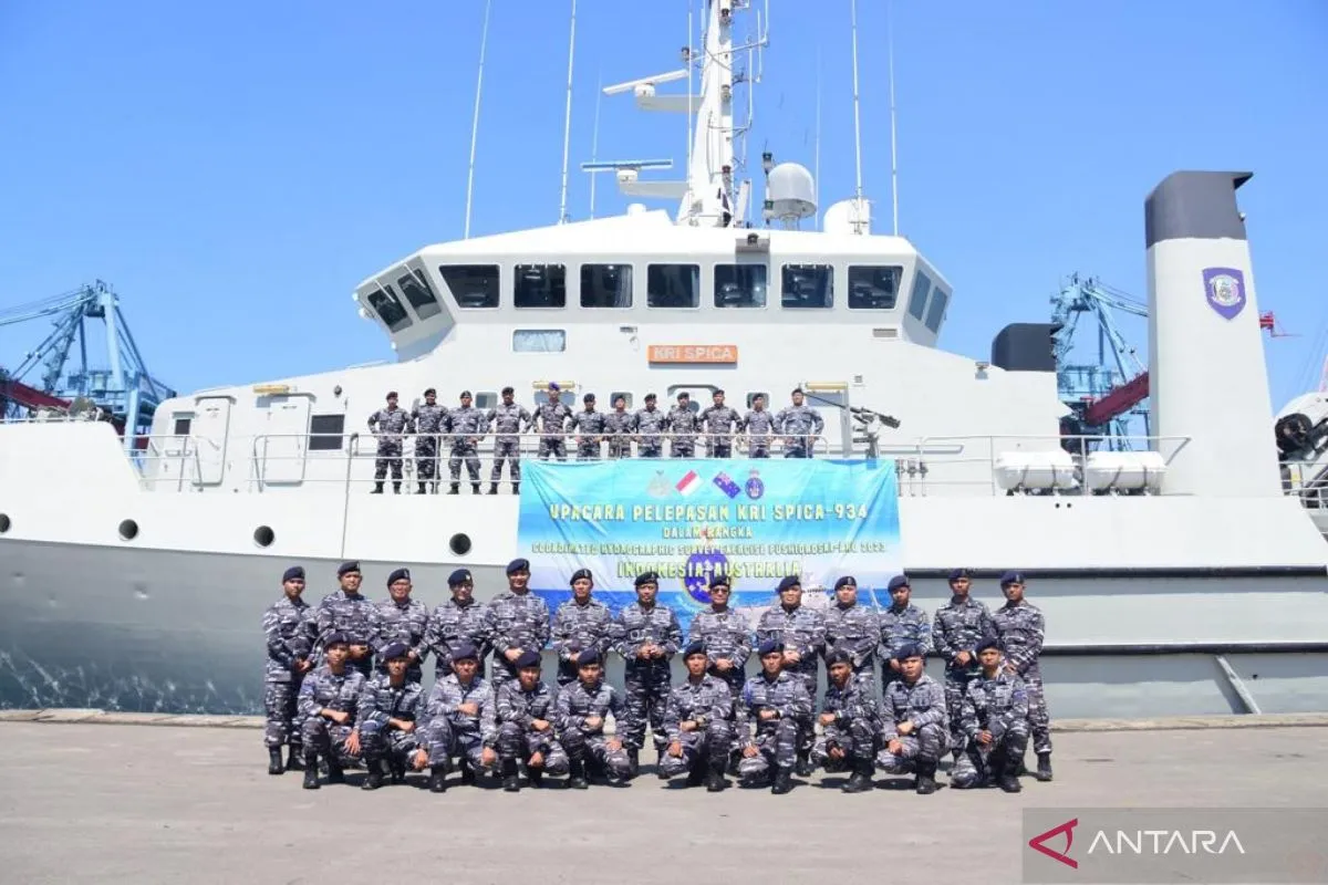
For the joint survey, the Indonesian Navy has deployed the KRI Spica-934 warship from Pushidrosal to Indonesia's Exclusive Economic Zone (EEZ).
Meanwhile, ships from the Australian Navy and the Australian Hydrographic Agency (AHO) will also sail along their EEZ on the Timor Sea border.
Nurhidayat informed that 63 personnel have been deployed for the survey, and two Australian Navy personnel will tag along with KRI Spica-934. For the joint survey, the Indonesian naval ship is being led by Lieutenant Colonel Deirus Rizki Khair.
"We also have our soldiers on the Australian ships. The goal of this joint survey also aims to involve each party's participation and to ensure the implementation of this survey is according to standards," he said.
During the survey, Indonesia and Australia will collect seabed data in their respective EEZs, including maps of the seabed, sea tunnels, current patterns, and tidal patterns, he revealed.
Nurhidayat said that the first month of the survey will end on October 25.
"We are conducting this survey for two months to meet the full moon twice. By meeting the full moon twice, we can see the low and the high tides due to the moon for more valid data," he explained.
Within two months, KRI Spica-934 is also scheduled to sail until it approaches Darwin, Australia.
"We will stay there for three days," he informed.
However, the Australian ship will not have time to approach Kupang, East Nusa Tenggara (NTT), because of the considerable distance and paucity of time, he added.
Nurhidayat said that the two countries will exchange data, but only general data and not specific data.
According to him, the specific data will consist of information regarding the five-meter layer below the seabed (sub-bottom profile) under the full control of each country.
He explained that the data obtained from the survey results would be used as material to prepare underwater maps, especially for the border areas of Indonesia and Australia.
The maps will be useful for the navigation of commercial ships and construction, including the installation of cable and pipe networks on the seabed for telecommunications and internet networks, Nurhidayat said.
Related news: Indonesian, Australian navies to conduct survey in southern EEZ
Related news: Indonesia discusses maritime safety in Malacca, Singapore Straits
Related news: IndOz Conference strengthens Indonesia-Australia bilateral relations
Translator: Genta Tenri M, Resinta S
Editor: Sri Haryati
Copyright © ANTARA 2023


