According to the agency, the provinces to be potentially hit by heavy rains, strong winds, and lighting on Friday include West Sumatra, Riau, Bengkulu, Jambi, South Sumatra, Lampung, West Java, and Jakarta.
Those in Central Java, Yogyakarta, East Java, Bali, West Nusa Tenggara, East Nusa Tenggara, West Kalimantan, Central Kalimantan, and South Kalimantan were also cautioned about the potential for thunderstorms.
The BMKG additionally warned residents in the provinces of North Sulawesi, Gorontalo, South Sulawesi, North Maluku, Maluku, and West Papua to stay alert over potential heavy rains, strong winds, and lighting.
According to the agency's head, Dwikorita Karnawati, the extreme weather to potentially hit most of the Indonesian regions could end with an increase in natural hazard events.
The hazardous events could occur owing to the intervention of the seeds of the tropical cyclone 91S, 94S, and 93P, as they had been monitored around the Indian Ocean off Southern Java, the Timor Sea, and the Australian Sea, she stated.
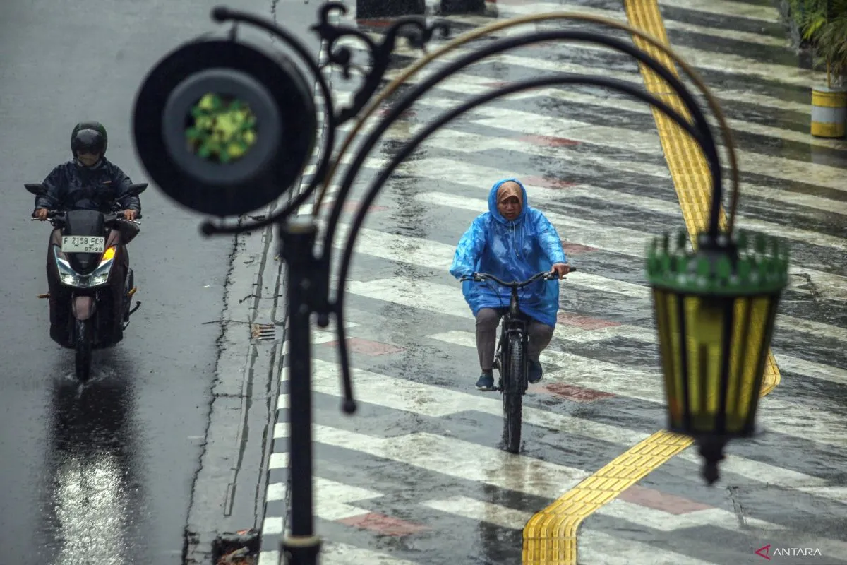
As a result, there has been an increase in rainfall in Southern Indonesia.
Hence, Karnawati urged all land, sea, and air transportation operators in the country to anticipate extreme weather events during this year's homebound and outbound travel season.
"We appeal to all homebound travelers, transportation service providers, and public transportation operators to remain cautious over the potential extreme weather events during the Eid-al-Fitr holiday season," she stated.
A joint survey, conducted by the Transportation Ministry and Communication and Informatics Ministry, revealed that 193.6 million residents were expected to travel during this year's exodus period.
Regarding prevention for potential extreme weather events, ANTARA reported earlier that the National Disaster Mitigation Agency (BNPB) had also released a disaster susceptibility map ahead of the 2023 Christmas and year-end exodus period.
The map, which charted areas that were vulnerable to flooding, landslides, and extreme weather, was distributed to regional governments and roadtrippers.
By having the map, the travelers could remain alert for any disaster risk in the places they passed through or visited.
The provision of the guide maps is part of BNPB's disaster preparedness and mitigation-related efforts to reduce the impacts of natural disasters.
Related news: Warn tourists about extreme weather: official to Bali tourism players
Related news: BMKG to document 1979 Lembata Island tsunami in East Nusa Tenggara
Translator: Rahmad Nasution
Editor: Tia Mutiasari
Copyright © ANTARA 2024


