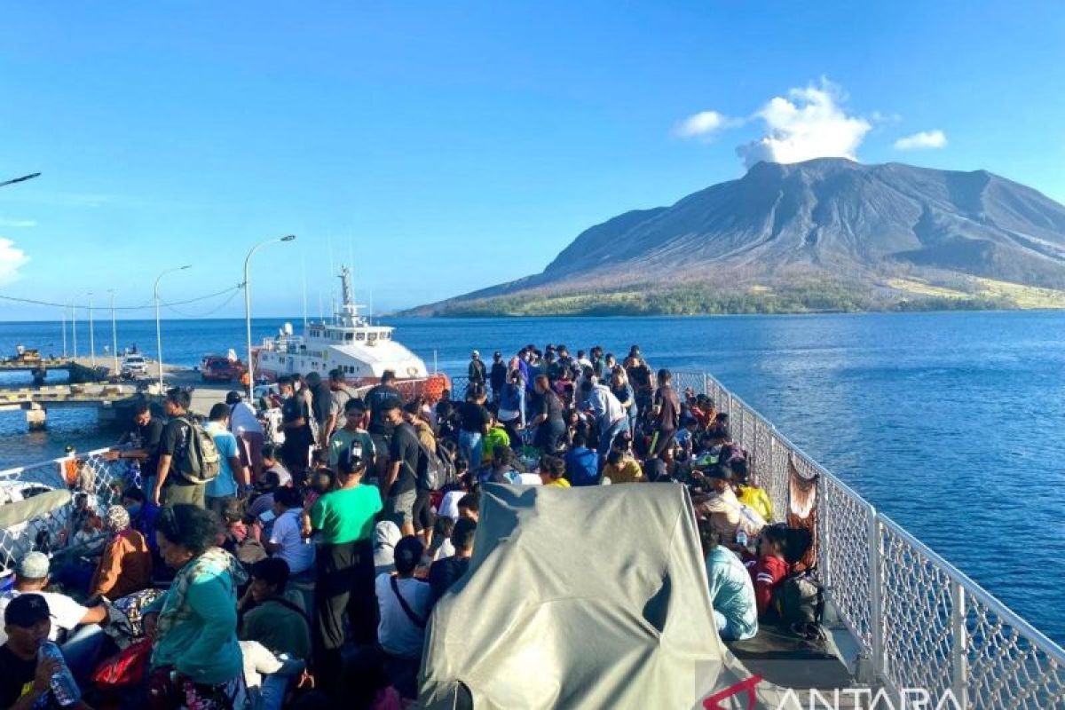
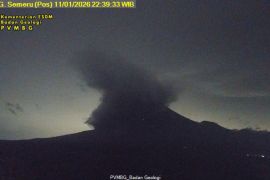
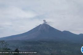
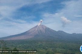
"An evacuation scenario is crucial, as it would help us understand the evacuation path and wind direction in case of another eruption," BNPB Deputy for Logistics and Equipment Lilik Kurniawan stated on Monday.
Therefore, the BNPB considered that the evacuation scenario for Mount Ruang's eruption must involve all elements in disaster emergency operations as well as local government-level task forces.
Kurniawan said that if all potential eruption hazards can be predicted, then the evacuation and rescue of people can be carried out optimally and casualties can be prevented.
"We need to continue to coordinate and comply with every recommendation issued by the Center for Volcanology and Geological Hazard Mitigation (PVMBG) and the Meteorology, Climatology, and Geophysics Agency (BMKG)," he remarked.
He explained that the PVMBG officially dropped Mount Ruang's volcanic activity status to Alert on Monday morning at 9 a.m. local time.
However, this does not mean that the conditions are safe, and the PVMBG continues to provide recommendations so as to avoid public activity within a radius of four kilometers from the volcano's active crater.
This is because PVMBG's analysis found that the potential danger is currently in the form of small-scale eruptions, with a limited spread of eruptive material around the crater.
It was also reported that there was a buildup of eruption materials on the eastern upper slope that had the potential to turn into a rock avalanche.
Mount Ruang is projected to emit volcanic gas, so the BNPB expressed hope that all parties in disaster mitigation operations would pay attention to PVMBG's analysis results.
Related news: Manado Airport focusing on flight safety due to Mt. Ruang eruption
Related news: Mt Ruang Task Force continues evacuating residents in dangerous area
Translator: M Prasetyo, Kenzu
Editor: Anton Santoso
Copyright © ANTARA 2024
