"Seismic activity is dominated by earthquake gusts and continuous earthquake tremors that indicate fluid movement around the surface," Head of the Geological Agency Muhammad Wafid noted in a statement as quoted here on Saturday.
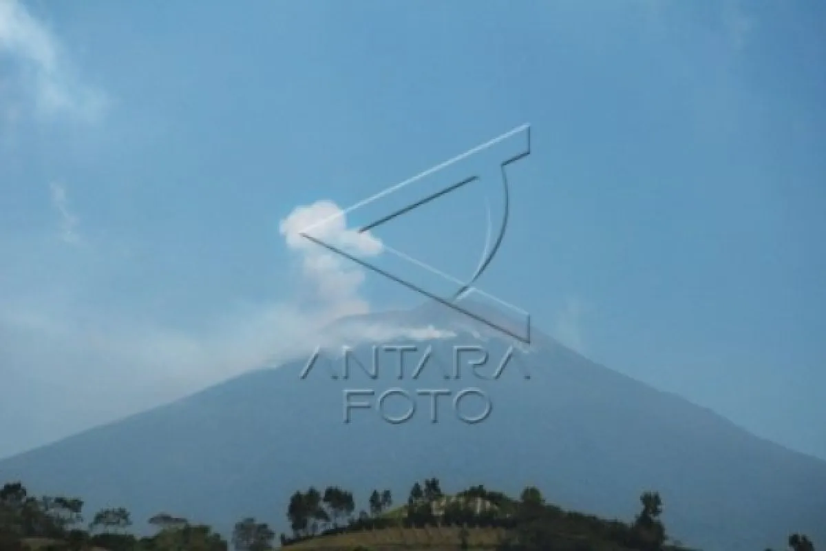
Mount Slamet is a cone-shaped stratovolcano, with a maximum height of 3,432 meters above sea level.
The type A volcano is administratively located between the five districts of Pemalang, Banyumas, Brebes, Tegal, and Purbalingga in Central Java.
Mount Slamet, whose current status is still at Alert, or level II, is monitored visually and instrumentally from the Volcano Observation Post (PPGA) located in Gambuhan Village, Gajah Nguling, Pulosari Sub-District, Pemalang District, Central Java.
Based on observations on April 1-15, 2024, the agency recorded 197 gusts of earthquakes, one deep volcanic earthquake, one local tectonic earthquake, 12 distant tectonic earthquakes, and continuous tremor earthquakes having an amplitude of 0.5-1 mm (dominant 0.5 millimeters).
During the period of April 16-30, 2024, the Geological Agency recorded 701 gusts of earthquakes, one felt earthquake, eight distant tectonic earthquakes, and a continuous tremor earthquake, with a dominant amplitude of 0.5 millimeters.
Thereafter, during the observation period of May 1-9, 2024, the agency recorded 902 gust earthquakes, 15 deep volcanic earthquakes, three distant tectonic earthquakes, and continuous tremor earthquakes, with an amplitude of 0.5 to three millimeters, with a dominant amplitude of one millimeter.
Deformation monitoring using electronic distance measurement showed shortening-lengthening fluctuations that tended to be stable, with relatively small changes in distance.
Related news: Mountaineers and natural lovers cancel plan to climb Mt Slamet
On May 1-10, 2024, the agency did not observe any significant changes in the results of the slant distance measurements.
The Geological Agency also monitors deformation using a tiltmeter at Cilik Station, located at an elevation of 1,500 meters above sea level (masl); Bambangan Station, at an elevation of 1,875 masl; and Sawangan Station, at an elevation of 2,000 masl.
During the May 1-10, 2024, period, tiltmeter deformation monitoring of Mount Slamet from Sawangan Station showed a relatively increasing pattern in the Y component (radial).
Wafid explained that monitoring data showed an increase in pressure underneath the body of Mount Slamet that could trigger shallow earthquakes and eruptions.
The current potential threat is phreatic and magmatic eruptions that can spew incandescent material around the peak within a radius of two kilometers.
"Ashfall can occur around the crater or in areas determined by the direction and speed of the wind," Wafid stated.
The Geological Agency has urged the public to not conduct activity or stay within a radius of two kilometers from the top of the crater of the mount, given the alert status that is currently still in effect since October 19, 2023.
Related news: Local residents urged to follow Mt Slamet danger zone ban
Translator: Sugiharto Purnama, Katriana
Editor: Yuni Arisandy Sinaga
Copyright © ANTARA 2024


