Jakarta (ANTARA) - The National Research and Innovation Agency (BRIN) is developing satellite-powered remote sensing technology to locate and oversee fields of marijuana in an automatic or semi-automatic manner.
Head of BRIN's Center for Geoinformatics Research Rokhis Khomarudin stated that satellites wield the capability of swiftly and accurately detecting marijuana fields, thereby eliminating the need to conduct timely and costly manual surveys.
"We are devising a detection model using machine learning," he noted in a statement received from the agency in Jakarta on Friday.
Khomarudin explained that the satellite-powered technology will apply different approaches to facilitate the government in identifying the location of a marijuana field.
He elaborated that the technology would be expected to help detect marijuana fields on an open area in the middle of a forest, detect changes to objects that indicate the growth of plants, and distinguish the light reflected by marijuana and other plants.
The researcher affirmed that the BRIN has ample experience in utilizing data obtained from satellites for multi-purpose research and development.
Khomarudin stated that BRIN's experiences place the agency in the most ideal position to devise a system capable of providing information on the presence of a marijuana field in a swift, accurate, and efficient manner.
"We will make the most of machine learning and artificial intelligence to process satellite data in order to identify marijuana fields," he pointed out.
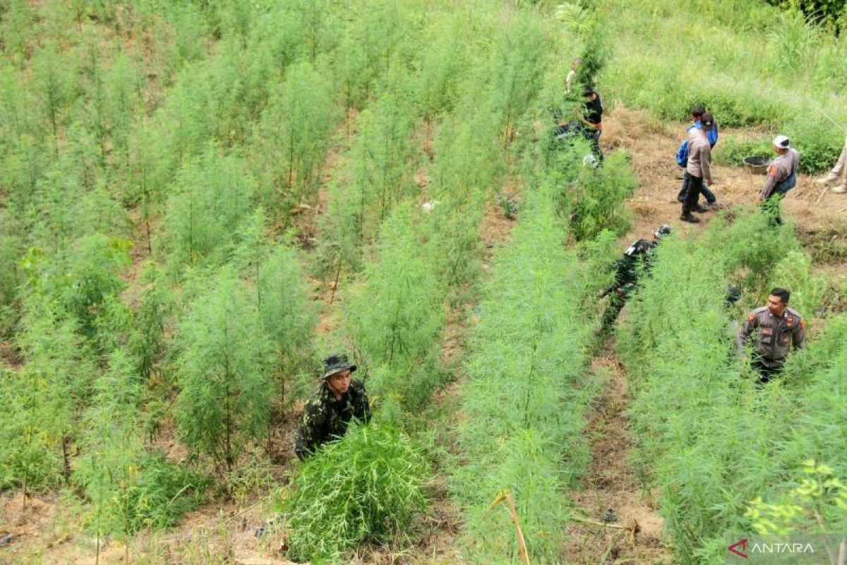
Khomaruddin also stated that the BRIN and North Sumatra Regional Police had forged research cooperation that led to the discovery of five hectares of marijuana field on Tor Sihite Mountains, Mandailing Natal District.
He expressed hope that the utilization of advanced technology in such cooperation would enable authorities to significantly address matters related to marijuana cultivation.
Related news: BNN arrests Asian network drug lord in the Philippines
Related news: BRIN warns of rising heat impact on Indonesia's food crop production
Translator: Sugiharto P, Tegar Nurfitra
Editor: Aditya Eko Sigit Wicaksono
Copyright © ANTARA 2024


