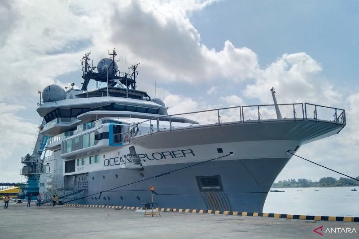
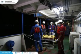
OceanXplorer, measuring 87 meters in length and capable of accommodating up to 72 crew members, will dock at the port until July 25, according to a port official.
Indonesia's Coordinating Ministry for Maritime Affairs and Investment and the National Research and Innovation Agency (BRIN) will conduct an expedition to research the country's marine potential with OceanXplorer.
The expedition is focused on marine biodiversity, carbon potential, fish stock assessment, and earthquake mapping of the megathrust zone.
This exploration is expected to contribute to mapping biodiversity, particularly in the deep sea, a realm that remains largely unexplored.
Data from the ministry shows that only 19 percent of Indonesia's oceans have been mapped. In fact, Indonesia has a long coastline, stretching 108,000 kilometers, and more than 70 percent of Indonesia's area is water.
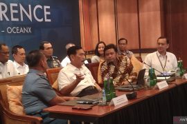
On May 15, Coordinating Minister for Maritime Affairs and Investment Luhut Binsar Pandjaitan launched the expedition in Nusa Dua, Bali.
The research team comprises representatives from BRIN, universities, and conservation organizations.
The mission also involves the Ministry of Education, Culture, Research, and Technology, the Ministry of Marine Affairs and Fisheries, the Ministry of Defense, the Ministry of Transportation, the Naval Hydro-Oceanography Center (Pushidrosal), and the Meteorology, Climatology, and Geophysics Agency (BMKG).
The marine exploration mission began on May 8 from Sambu Island, Riau Islands.
The expedition will continue to other regions, including Labuan Bajo in East Nusa Tenggara, and will end in Bitung, North Sulawesi, on August 25.
Related news: OceanX studying megathrust fault for disaster mitigation: ministry
Related news: Indonesia partners with OceanX to map national marine potential
Translator: Dewa Ketut Sudiarta Wiguna, Cindy Frishanti Octavi
Editor: Anton Santoso
Copyright © ANTARA 2024
