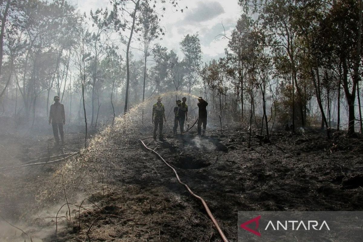
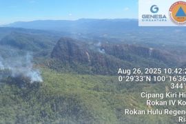
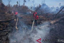
The six priority provinces are Riau, Jambi, South Sumatra, West Kalimantan, Central Kalimantan, and South Kalimantan.
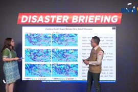
Head of the Disaster Data, Information, and Communication Center of BNPB Abdul Muhari noted in an online disaster briefing on Monday that the La Nina phase is a weather condition that started in early August as earlier predicted.
During this phase, rainfall is forecast to be around 20-40 percent higher than normal.
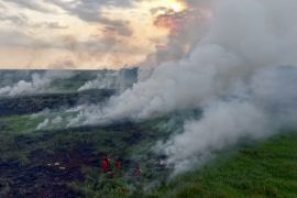
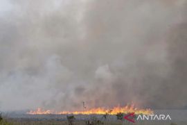
However, he said, based on satellite imagery monitoring, hotspots are still detected in one province due to the uneven distribution of rain. Hence, if not controlled, the fire can spread quickly.
"To this end, we ensure close assistance for forest and land fires from the BNPB to the six priority regions continues," he affirmed.
According to Muhari, the handling operations continue to be carried out based on the previous year's forest and land fire experiences and are supported by weather forecast analysis conducted along with the Meteorology, Climatology, and Geophysics Agency (BMKG).
Based on the analysis, the BNPB predicted rain in western Indonesia is categorized as temporary and is not yet equally distributed in the mid-August to early September period.
Hence, it is feared that after this phase ends and control measures are not continued, hotspots will reappear at any time, and the fire will spread quickly.
"At least, it (the operation) is carried out maximally until the weather conditions really return to normal state. The majority (of the regions) are still applying forest and land fire emergency status until November," he remarked.
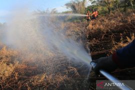
The BNPB is providing assistance in the six provinces, such as aircraft and helicopters for patrols and waterbombing as well as water pumps for land spraying.
Based on the BNPB data, as of July 22, the forest and land fire area in 2024 reached 572.9 hectares in Riau, 21 hectares in South Sumatra, 275 hectares in Central Kalimantan, and 35 hectares in West Kalimantan.
Furthermore, it reached 12 hectares in South Kalimantan and 9.7 hectares in East Kalimantan. Meanwhile, for Jambi, as of August 3, the forest and land fire area had reached 126 hectares.
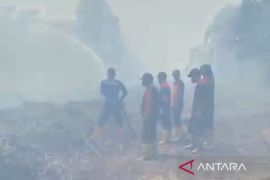
"In general, forest and land fires have been able to be controlled by the team on the field. We are targeting the spread to be as minimal as possible compared to the previous year," he stated.
Related news: East Kalimantan hit by wildfires, 64 hotspots found
Related news: Police's investigation still underway into Mt Papandayan's wildfire
Translator: M Riezko, Raka Adji
Editor: Rahmad Nasution
Copyright © ANTARA 2024
