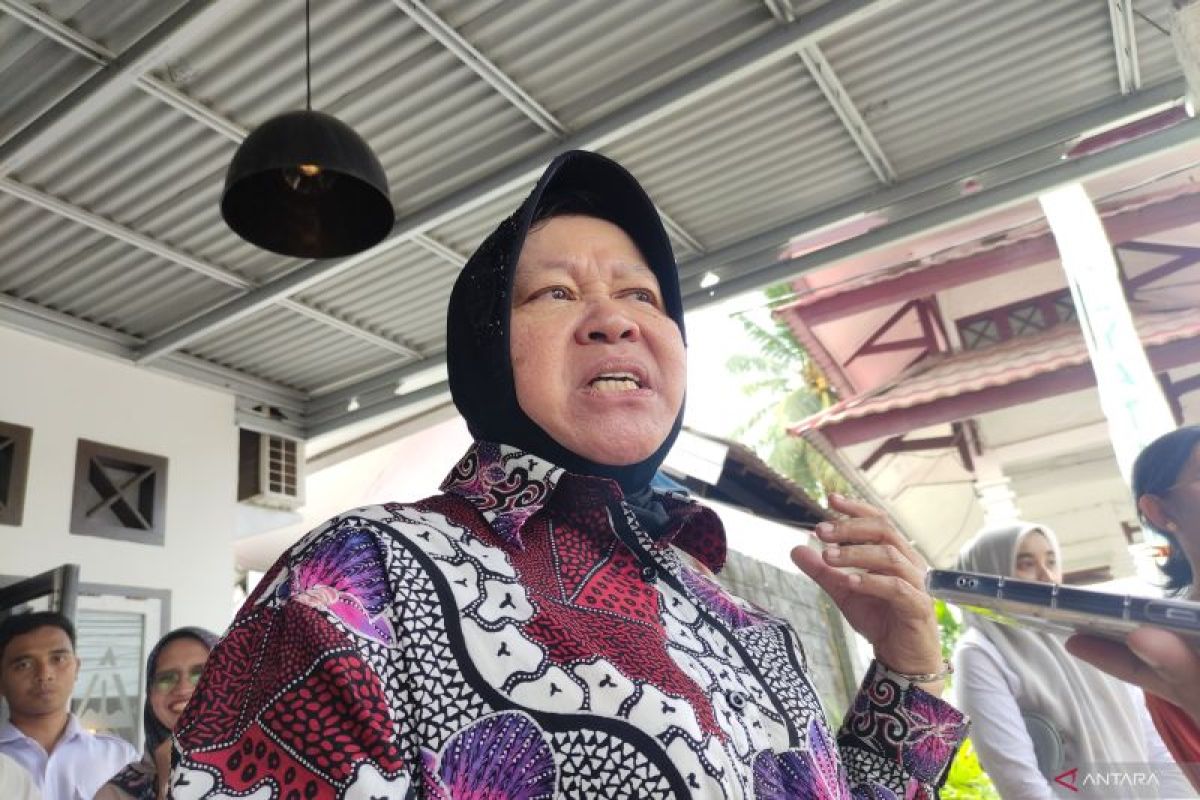
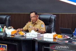
Social Affairs Minister Tri Rismaharini stated that the team comprised selected personnel from the ministry's Disaster Preparedness Cadets (Tagana) with a team from the Meteorology, Climatology, and Geophysics Agency (BMKG).
"On Tuesday, the team departed for Mentawai for mapping the zone prone to megathrust activity," she stated when met in Jambi on Wednesday.
According to the minister, the team would train the village community in the areas included in the map with emergency self-rescue techniques to safeguard from the impacts of earthquakes and tsunamis.
The team would also prepare evacuation zone facilities by referring to the modeling results from BMKG. Tagana had earlier carried this out for residents of 1,132 Disaster Alert Villages established by the Ministry of Social Affairs throughout the country, she stated.
Apart from the evacuation zone, the team would prepare evacuation posts spread across almost every village to shorten assistance distribution routes and accelerate efforts to assist in the event of any escalation of conditions in the field, Rismaharini added.
Related news: OceanX studying megathrust fault for disaster mitigation: ministry
The BMKG Earthquake and Tsunami Center reported that Indonesia is surrounded by 13 megathrust zones based on the earthquake hazard source map in 2017. This megathrust is a meeting point between tectonic plates with the potential to trigger strong earthquakes and tsunamis.
Of the 13 zones, the activity of the Sunda Strait megathrust zone and the Mentawai-Siberut segment are the biggest threats that can occur at any time since the two segments had no major earthquake for hundreds of years, according to BMKG records.
The Mentawai-Siberut segment megathrust zone is located in western Sumatra, while the Sunda Strait segment partly stretches across South Java-Bali.
The Mentawai-Siberut Seismic Gap Megathrust (SGM) has the potential to trigger earthquakes of magnitude 8.9, while the Sunda Strait has the potential to generate earthquakes of magnitude 8.7.
Hence, scientists, including those from BMKG, continue to intensify the dissemination of information on the importance of mitigation efforts to the central government, regions, and the community.
Related news: Disaster agency developing early warning system for Nusantara
Translator: M. Riezko Bima, Resinta Sulistiyandari
Editor: Yuni Arisandy Sinaga
Copyright © ANTARA 2024
