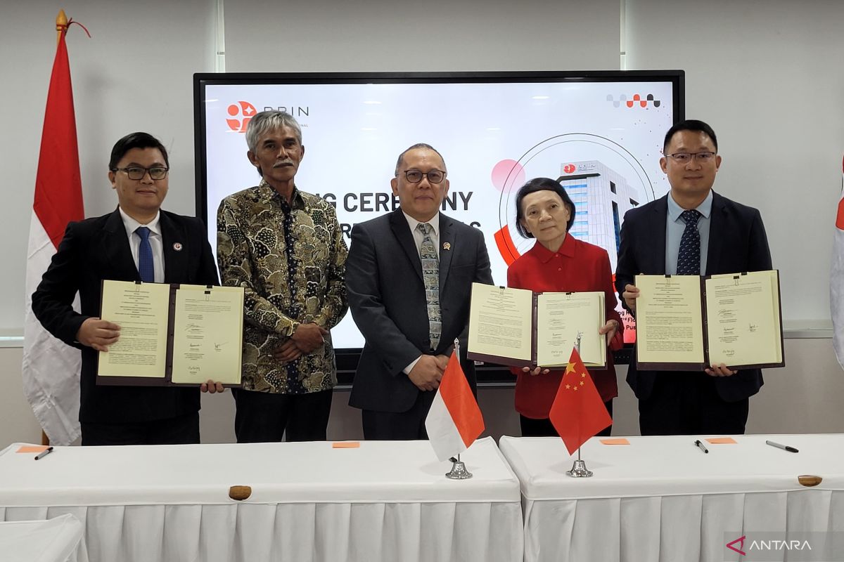
"We signed a cooperation agreement with the microsatellite development center division, which is headquartered in Shanghai, China. We are working together to develop a remote sensing satellite constellation in Indonesia," BRIN head Laksana Tri Handoko informed here on Friday.
He said that cooperation in developing the satellite constellation is needed by Indonesia because so far, the country has been purchasing satellite imaging data through foreign satellite imaging service providers.
Through the cooperation in satellite development, he explained, ministries/institutions and private players in Indonesia will no longer need to purchase satellite imaging data from foreign providers.
Related news: BRIN develops satellite of high-resolution, VHR, constellation models
Instead, they will be able to access it through BRIN, which will serve as a provider of image data services in the future.
"The plan is to consist of 19 satellites, both optical and radar-based. That will allow us to take satellite imagery in all kinds of forms," he said.
Handoko added that satellite imagery data can be used in various ways, for instance, for weather monitoring, climate research, fish zoning, urban spatial planning, river monitoring, disaster mitigation, defense, and security.
Under the collaboration with China, BRIN will help develop satellites and hand over their manufacturing to the private sector.
On Friday, IAMCAS representative Hu Haiying said that he felt honored to be a part of the research collaboration.
"We hope this is an opening step for all of us to be able to do whatever can be given to make satellites in Indonesia. We cannot wait to start working and finish this work immediately," he added.
Related news: BRIN pursues satellite-based space weather monitoring
Translator: Sean Filo Muhamad, Yashinta Difa
Editor: Yuni Arisandy Sinaga
Copyright © ANTARA 2024


