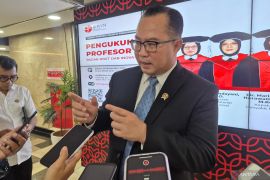
Head of BRIN's Geoinformatics, Rokhis Khomarudin, stated during an online discussion here on Thursday that as the global geospatial data landscape evolves rapidly, so does geospatial information—whether freely available or paid.
"This creates a new paradigm for transactions and interactions involving geospatial data and its derivative products, bringing forth the geospatial data and information marketplace where providers and users can (exchange)," Khomarudin elaborated.
Geoinformatics is now utilized across many sectors in Indonesia, including agriculture, forestry, spatial planning, disaster mitigation, and marine resources management. The extensive use highlights the urgent need for readily accessible geospatial data, he noted.
The concept of a geospatial data marketplace, whether demand-driven or supply-based, can bring together providers and users. It enables access to spatial data without requiring expensive, complex infrastructure such as satellites or datacenters, he opined.
"This marketplace model creates opportunities for cross-sectoral collaboration, pushes innovation, and expedites the use of geoinformatics to address challenges from local to global levels," Khomarudin explained.
He expressed hope that through collaboration and knowledge-sharing, this technology can provide precise data and information to further support Indonesia's development.
Related news: BRIN expert highlights rampant child marriage practices in villages
Related news: BRIN calls for collaborative ecosystem development in ASEAN
Related news: BRIN's lightweight composites advance transportation, drone innovation
Translator: Sean Filo Muhamad, Mecca Yumna Ning Prisie
Editor: Azis Kurmala
Copyright © ANTARA 2025


