Three eruptions were recorded at 00:51 a.m., 1:17 a.m., and 5:55 a.m., with no visual observations.
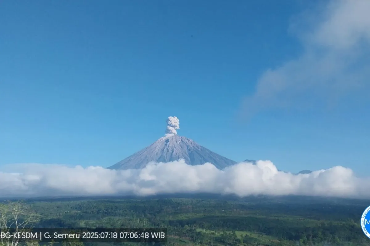
“The fourth eruption occurred at 6:22 a.m., with observed eruption column height of approximately 700 meters above the summit, or 4,376 meters above sea level,” an officer at the Mount Semeru Observation Post, Liswanto, informed in a written report received here.
The ash column was observed to be white to gray, with moderate intensity and heading north, he added.
The fifth eruption was recorded at 7:04 a.m., with the observed ash column reaching a height of about 700 meters above the summit.
“The ash column was observed to be white to gray in color and thick, moving to the north. The eruption was recorded on a seismograph with a maximum amplitude of 22 mm and a duration of 130 seconds,” Liswanto added.
Mount Semeru’s status has been kept unchanged at Level II or alert.
The Center for Volcanology and Geological Hazard Mitigation (PVMBG) has issued several recommendations for the public, including prohibiting any activity in the volcano’s southeastern sector along Besuk Kobokan, up to a distance of 8 kilometers from the summit.
People have also been advised not to conduct activities within 500 meters of the riverbank along Besuk Kobokan due to the potential for pyroclastic and lava flows, which can spread to a distance of up to 13 km from the summit.
The PVMBG has also urged people to remain alert for possible pyroclastic flows, lava avalanches, and lava flows along rivers and valleys originating from Mount Semeru’s summit, especially along Besuk Kobokan, Besuk Bang, Besuk Kembar, and Besuk Sat, as well as possible lava in the smaller tributaries of Besuk Kobokan.
Related news: Semeru erupts twice, ash reaches one thousand meters
Related news: Mount Semeru erupts again, sends ash 800 meters above summit
Translator: Zumrotun Solichah, Resinta Sulistiyandari
Editor: Primayanti
Copyright © ANTARA 2025


