Basarnas Deputy for Operations, Eko Suyatno, stated on Wednesday that all Technical Implementation Units (UPT) of SAR offices in North Sulawesi, North Maluku, West Papua, and Gorontalo have been instructed to increase preparedness levels.
“We are on alert to anticipate the impact of this earthquake,” Suyatno said, adding that the Meteorology, Climatology, and Geophysics Agency’s (BMKG) tsunami early warning had been forwarded to all SAR offices in regions potentially affected. Each office has been directed to take immediate precautionary measures.
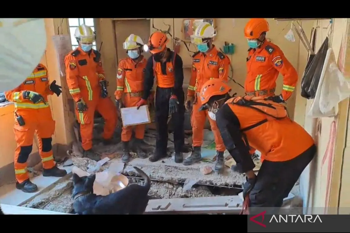
He also confirmed that SAR personnel and evacuation equipment are fully prepared in those areas, should evacuation efforts become necessary. Coordination with local authorities and technical agencies is also ongoing to anticipate any disaster resulting from the quake.
BMKG earlier placed ten Indonesian regions under tsunami advisory status with predicted wave heights of less than 0.5 meters.
These include the Talaud Islands, Gorontalo City, North Halmahera, Manokwari, Raja Ampat, Biak Numfor, Supiori, North Sorong, Jayapura, and Sarmi, with estimated wave arrival times ranging from early to late afternoon local time.
According to BMKG’s earthquake monitoring team, updated seismic data pinpointed the epicenter at 52.51° North latitude and 160.26° East longitude, with a depth of 18 kilometers.
The quake originated from subduction activity in the Kuril-Kamchatka Trench and was characterized by a thrust fault mechanism.
As of 8:30 a.m. WIB, BMKG had recorded seven aftershocks in the region, ranging in magnitude from 5.4 to 6.9.
The Pacific Tsunami Warning Center (PTWC) also reported that the quake posed potential tsunami risks for several other areas including Russia, Japan, Alaska, the Philippines, Hawaii, and Guam.
Related news: Indonesia issues tsunami warning after 8.7 quake hits eastern Russia
Related news: Need to adopt quake-resistant building standards: BNPB
Translator: M. Riezko Bima, Resinta Sulistiyandari
Editor: M Razi Rahman
Copyright © ANTARA 2025


