The Deputy for Environmental Management and Sustainable Natural Resources, Sigit Reliantoro, in Jakarta on Friday said it is being detailed and divided into zones for the targeted 600,000 hectares of mangrove rehabilitation by 2029.
"We are currently finalizing the details, including creating zoning. There are requirements for salinity, pH, and other factors because not all areas can be planted with mangroves," he said.
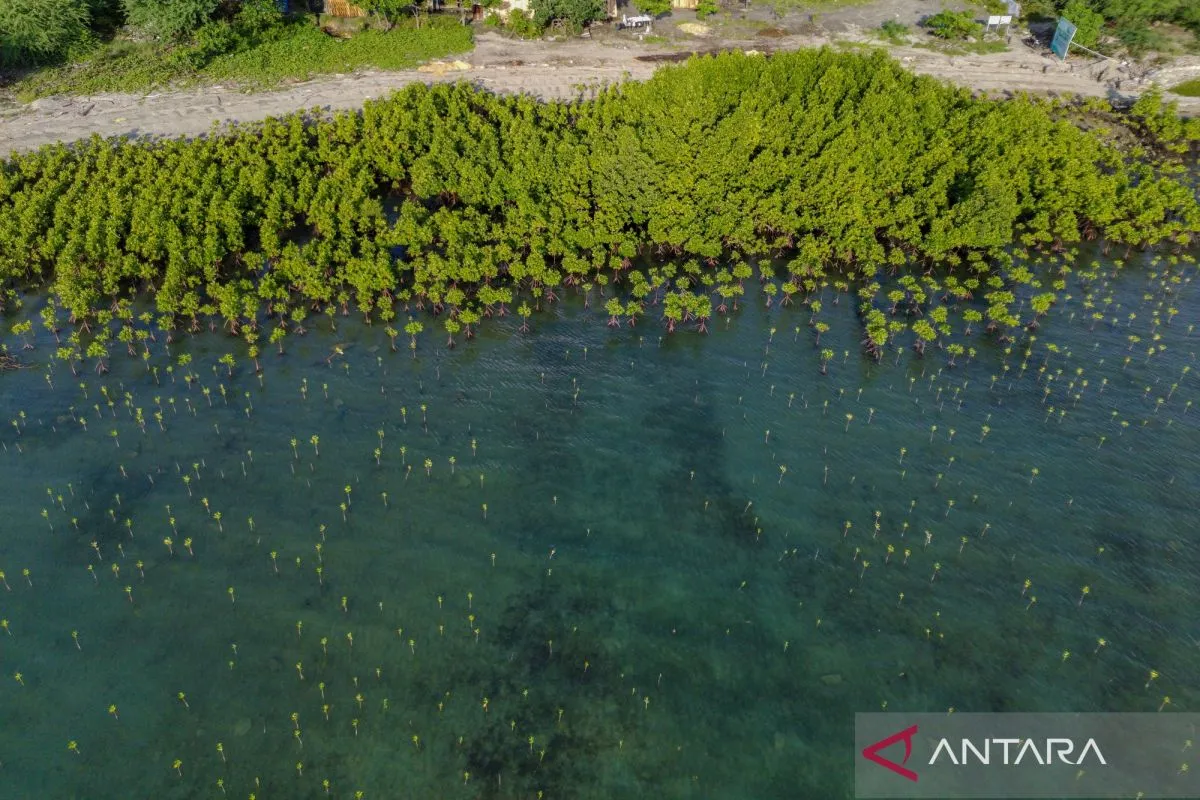
The map will divide mangrove rehabilitation zones based on the level of suitability for large-scale mangrove planting.
He added that rehabilitation areas are not limited to areas for other uses (APL) but also within forest areas.
The rehabilitation process for 2025 has already begun, including through the Mangroves for Coastal Resilience (M4CR) Program, which targets 15,387 hectares in four provinces: Riau, North Sumatra, East Kalimantan, and North Kalimantan, with a target of 41,000 hectares by 2027.
"We also ask for collaboration with all parties, including the private sector," he said.
According to the 2024 National Mangrove Map, Indonesia's mangrove area reached 3,440,464 hectares. Approximately 2.7 million hectares are located within forest areas, or 79.6 percent of the total, while approximately 701,326 hectares are outside forest areas (APL).
Related news: RI Govt sees social forestry as green economy driver
Related news: Seawall, mangrove integration planned for Java’s northern coast
Related news: Ministry steps in to curb mangrove forest encroachment in Aceh
Translator: Prisca Triferna Violleta, Asri Mayang Sari
Editor: Azis Kurmala
Copyright © ANTARA 2025


