Daryono, Director of Earthquakes and Tsunamis at the Meteorology, Climatology, and Geophysics Agency (BMKG), said the agency’s tsunami gauge network detected sea level changes minutes after the quake struck at 8:43 a.m. Western Indonesian Time (UTC+7).
Within 30 minutes, gauges in Essang, Beo, Melonguane, Ganalo, Sangihe, Morotai, and West Halmahera recorded anomalies ranging from 5 to 17 centimeters.
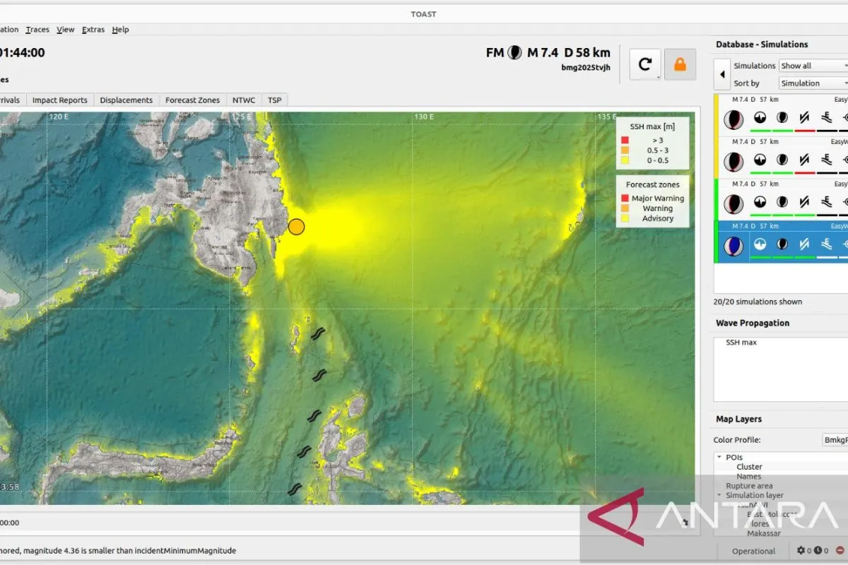
"The event is categorized as a minor tsunami, and the system successfully verified the sea level rise consistent with modeling results," he said.
According to Daryono, the incident demonstrated Indonesia’s readiness to respond to tsunami threats in its northern maritime borders. Coordination between BMKG, the National Disaster Management Agency (BNPB), and regional authorities ensured rapid public dissemination of information.
The earthquake's epicenter was located at 7.23° North Latitude and 126.83° East Longitude, about 275 kilometers northwest of Karatung Island, North Sulawesi, at a depth of 58 kilometers.
BMKG attributed the quake to thrust fault activity in the Philippine Sea subduction zone and issued a tsunami warning for the coasts of the Talaud Islands, Bitung City, southern North Minahasa, southern Minahasa, and Supiori in Papua.
Residents in coastal areas were urged to stay vigilant and follow official updates until the tsunami warning was lifted.
Related news: Indonesia issues tsunami warning after 7.4 quake off Philippines
Related news: Minor tsunami recorded in Indonesia's Talaud after Philippines quake
Translator: Resinta Sulistiyandari
Editor: Anton Santoso
Copyright © ANTARA 2025


