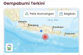
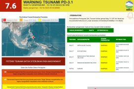
The Meteorology, Climatology, and Geophysics Agency (BMKG) reported that the quake’s epicenter was located at 7.23° North Latitude and 126.83° East Longitude, about 275 kilometers northwest of Karatung Island, North Sulawesi, at a depth of 58 kilometers.
"This was a shallow earthquake caused by subduction activity with a thrust fault mechanism," said Daryono, BMKG's Director of Earthquakes and Tsunamis.
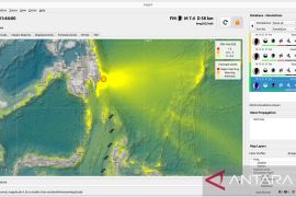
Based on modeling results, BMKG said the quake had the potential to trigger a tsunami, prompting an Alert warning level for coastal areas of the Talaud Islands, Bitung City, southern North Minahasa, southern Minahasa, and Supiori in Papua.
According to Daryono, the tremors were felt strongly in Tahuna with an intensity of IV on the Modified Mercalli Intensity (MMI) scale, noticeable to many people indoors. In Manado, North Sulawesi, the shaking reached intensity II, felt by some residents and causing light movement of objects.
"No damage or casualties have been reported so far," he said.
BMKG confirmed that as of 9:14 a.m. Western Indonesia Time (UTC+7), no aftershocks had been detected.
The agency urged residents in coastal areas to remain alert and avoid beaches until the official warning was lifted.
"We urge the public to stay calm, avoid unreliable sources, and follow directions from local authorities and BMKG," Daryono said, advising coastal residents to move to higher ground as a precaution.
Related news: Minor tsunami recorded in Indonesia's Talaud after Philippines quake
Related news: BBMKG warns of possible tsunami after strong 7.6 quake near Papua
Translator: Resinta Sulistiyandari
Editor: Anton Santoso
Copyright © ANTARA 2025
