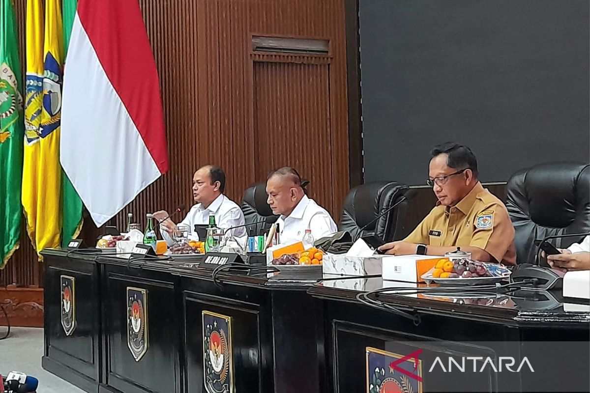
“Tropical Cyclone Senyar could be predicted around eight days before its formation. In Aceh, North Sumatra, and West Sumatra, our regional offices issued warnings eight days earlier, repeated four days earlier, and again two days earlier,” BMKG Head Teuku Faisal Fathani said here on Monday.
He emphasized that these early warnings should have been promptly responded to by regional leaders so they could instruct their teams and alert the public.
According to him, Indonesia is not classified as cyclone-prone. However, an atmospheric anomaly occurred over Sumatra, allowing Cyclone Senyar in the Malacca Strait to trigger heavy rain and major disasters in Aceh, North Sumatra, and West Sumatra.
Atmospheric anomalies, weather patterns, cold surges, and other factors contributed to Senyar’s development in the Malacca Strait, where warm sea temperatures created abundant rain clouds. Thus, despite Senyar being low-category (1-5), it still produced severe impacts.
“Senyar collided with Cyclone Koto, trapping heavy rain between Sumatra and Peninsular Malaysia, causing intense rainfall for more than two to three days. In Langsa (Aceh), 380 mm of rain fell, equivalent to a month’s rainfall in one day,” he said.
Fathani urged Indonesia to strengthen cyclone mitigation, noting the increasing emergence of tropical cyclone seeds near the equator.
He said BMKG has established a tropical cyclone warning center to enhance preparedness.
BMKG is also conducting weather modification operations at three Sumatra posts to reduce rainfall during aid distribution. The operations will continue until Wednesday (December 3) at posts in Aceh, Medan, and Padang.
Related news: Prabowo orders full nationwide effort for Sumatra disaster response
Related news: Prabowo urges regions to brace for climate impacts amid flood crisis
Related news: ANTARA chief leads prayer for victims of Sumatra widespread flooding
Translator: Lintang, Kenzu
Editor: M Razi Rahman
Copyright © ANTARA 2025
