Head of BMKG Regional I, Hendro Nugroho, said on Monday that Tropical Cyclone Seed 918 in the Southwest Indian Ocean near Lampung is causing wind shifts and air mass convergence in North Sumatra.
He added that the cyclone seed is being supported by active atmospheric waves and the Madden–Julian Oscillation around its circulation center. The negative Indian Ocean Dipole (IOD) is expected to persist through December 2025.
Sea surface temperatures remain warm at 29–30 degrees Celsius, while high humidity is observed across all atmospheric layers.
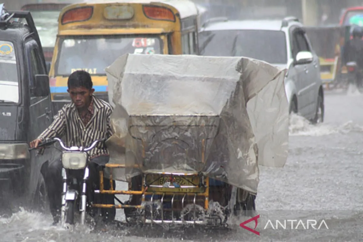
“These factors will increase water vapor in North Sumatra, enhancing cloud formation and rainfall, particularly along the western coast,” he explained.
Areas expected to experience heavy to very heavy rainfall include Dairi, Pakpak Bharat, Humbang Hasundutan, Nias, Nias Selatan, Nias Utara, Nias Barat, Gunungsitoli, Tapanuli Tengah, and Sibolga.
Similar conditions may also occur in Tapanuli Selatan, Padang Sidempuan, Tapanuli Utara, Mandailing Natal, Padang Lawas, Padang Lawas Utara, Langkat, Medan, Binjai, Deli Serdang, Karo, Simalungun, Samosir, Serdang Bedagai, Pematangsiantar, and Labuhanbatu Selatan.
BMKG advised the public to take precautionary measures to ensure their daily activities can continue safely and smoothly.
Given the dynamic weather, the public is urged to keep monitoring updates from BMKG.
Regional heads are also advised to coordinate with the Regional Disaster Mitigation Agency (BPBD), the Indonesian Military (TNI), and the National Police (Polri), and to follow information disseminated by BMKG Regional I Medan through its social media account @infobmkgsumut.
“We remind the public not to easily trust weather information from unofficial sources and to contact BMKG Regional I’s information service via the call center at 0821-6804-3653 or email bbmkgl@bmkg.go.id,” Nugroho added.
Translator: Juraidi, Kenzu
Editor: Aditya Eko Sigit Wicaksono
Copyright © ANTARA 2025


