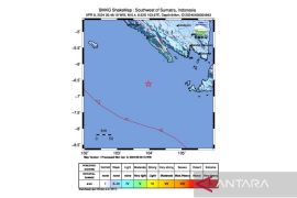
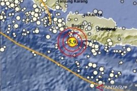
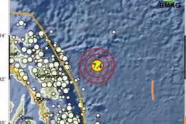
The quake`s epicenter was located 8.60 degrees southern latitude, and 108.36 degrees eastern longitude or 120 kilometers southwest of Cilacap, according to Ahmad Lani, hed of the Banjarnegara geophysics station, here Tuesday.
"The temblor`s epicenter is at a depth of 24 km and it did not have potential to trigger a tsunami," he said.
The earthquake caused Cilacap residents to rush out of buildings in panic. "The quake was very strong," Maryam (51), a Kalikudi villager, Cilacap, said.
The earthquake was also felt in Purwokerto, Banyumas and Ajibarang, Central Java.
Reports on damages or casualties are not yet immediately available.
Meanwhile, on Monday (April 25), Kendari, Southeast Sulawesi, was jolted by an aftershock measuring 5.2 on the Richter scale, on Monday at 6.25 am Western Indonesian Standard Time (WIB) after being rocked by a magnitude-6.0 earthquake earlier.
The temblor`s epicenter was located at 4.11 degrees southern latitude and 122.61 degrees eastern longitude at a depth of 20 kilometers below sea level, around 16 km southeast of Kendari, according to information from the national meteorological, climatology and geophysics office Monday.
Earlier, at 6.07 am WIB, an earthquake measuring 6.0 on the Richter scale jolted Kendari.
The quake`s epicenter was located 4.40 degrees southern latitude and 122.82 degrees eastern longitude, at a depth of 18 km below sea level, around 55 km southeast Kendari.
Both temblors did not have potential to trigger a subsequent tsunami. The Kendari earthquake and aftershock damaged a number of buildings.
Indonesia is located on the Pacific "Ring of Fire" and has the world`s largest number of historically active volcanoes according to the U.S. Geological Survey (USGS), making it prone to earthquakes and other volcanic disruptions.
(SYS/F001)
Editor: Suryanto
Copyright © ANTARA 2011

