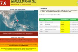
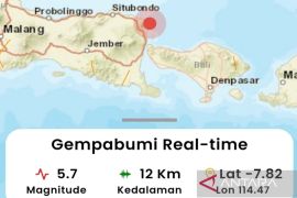
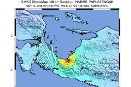
The quake`s epicenter was located at 4.13 degrees southern latitude and 129.38 degrees eastern longitude, around 146 km southeast of Ambon, and at a depth of 35 km below sea level, Benny Sipolo, the head of the Ambon Geophysical station, said here Saturday.
The temblor did not have potential to trigger a tsunami.
On July 3, 2011, an earthquake measuring 5.4 on the Richter scale jolted Saumlaki, Maluku Tenggara Barat (MTB), at 23.13 local time, but claimed no lives.
The temblor`s epicenter located at 5.99 degrees southern latitude, and 130.68 degrees eastern longitude, around 231 km northwest of Saumlaki, at a depth of 149 km below sea level, Head of the Ambon Geophysical station Sipolo said.
Saumlaki is prone to earthquakes. Last June 10, 2011, Saumlaki was shaken a temblor measuring 5.1 on the Richter Scale.
Indonesia is located on the "Ring of Fire" - and is prone to frequent earthquakes and volcanic eruptions.
Recently, an earthquake measuring 5.0 on the Richter scale jolted Bengkulu, but did not have potential to trigger a tsunami.
According to the Meteorology, Climatology and Geophysics Agency (BMKG) website, the epicenter of the temblor was located 5.11 degrees southern latitude and 101.48 degrees eastern longitude at a depth of 10 km under sea level, around 170 km southwest of Bengkulu.
But Amir, a local resident, said the magnitude of the earthquake was mild enough to be felt by the local people, and thus there was no panic among them.
Bengkulu was jolted by two powerful earthquakes measuring respectively 7.3 on the Richter scale in 2000 and 7.9 on the Richter scale in 2007, flattening thousands of houses and claiming hundreds of lives and causing material loss of hundreds of millions of rupiah.(*)
(f001/HAJM)
Editor: Ruslan Burhani
Copyright © ANTARA 2011
