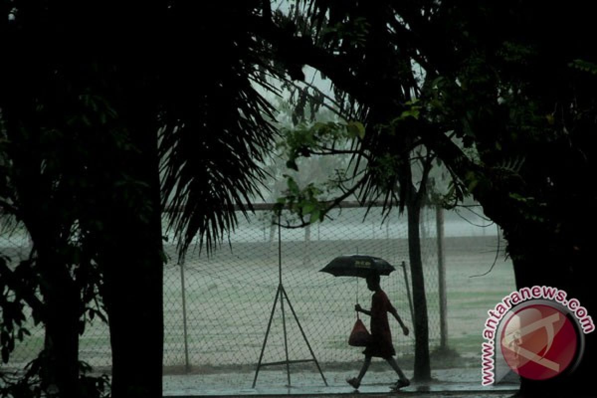
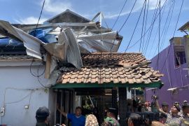
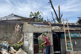
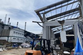
"The formation of more cumulonimbus clouds that could trigger whirlwinds."Jakarta (ANTARA News) - The number of whirlwinds that hit Indonesia last year was 28 times higher than that of the year 2002 due to the impact of global warming, according National Disaster Mitigation Agency (BNPB) spokesman Sutopo Purwo Nugroho.
"Global warming has resulted in the formation of more cumulonimbus clouds that could trigger whirlwinds," he said during the weekend.
Indonesia has been hit by 258 whirlwinds so far this year, which have accounted for 36 percent of the total number of disasters that have struck the country in 2012.
A total of 404 districts/cities, inhabited by 115 million people, in Sumatra, Northern Java, East Nusa Tenggara and South Sulawesi, are vulnerable to whirlwinds.
Sutopo predicted that the frequency and intensity of hydrometeorological disasters, such as floods, landslides, droughts, forest fires and whirlwinds, would increase next year.
Citing the forecast by National Meteorological, Climatology, and Geophysics Agency (BMKG), he said whirlwinds were likely to occur in March-April 2013, while and floods and landslides were most likely to happen during the January-March period. A total of 60.9 million people live in 315 districts/cities that are prone to floods, while some 124 million live in 270 districts/cities that are vulnerable to landslides.
Forest fires might occur during the dry season next year in eight provinces: North Sumatra, Riau, Jambi, South Sumatra, West Kalimantan, Central Kalimantan, South Kalimantan and East Kalimantan.
The country is likely to be affected by droughts during August-October 2013, particularly in Java, Bali and East Nusa Tenggara (NTT).
Sutopo said earthquakes could not be predicted, but some 157 million people live in 386 districts/cities that are prone to earthquakes.
A powerful earthquake is likely to be followed by a tsunami. Since the year 1629, Indonesia has been hit by some 172 tsunamis. Some 233 districts/cities inhabited by approximately 5 million people are prone to tsunamis.
"As for volcanic eruptions, six volcanoes, Raung, Rokatenda, Sangeangapi, Lokon, Karangetang and Ijen � are on alert status, while 13 others, namely Gamalama, Bromo, Talang, Krakatau, Kerinci, Gamkonora, Ibu, Papandayan, Ili Lewotolo, Sinabung, Dukono, Semeru and Merapi, are on watch-out status," Sutopo noted.
"Next year, the disaster mitigation agency will implement a Tsunami Mitigation Master Plan to improve public awareness of the tsunami early warning system," he stated.
"The government has allocated funds amounting to Rp1 trillion for next year alone, while a total of Rp16.7 trillion in funds will be needed for the implementation of the master plan over the coming five years," Sutopo added.
Among the tsunami-prone regions in the country are Mentawai (West Sumatra), Sunda Strait, Java`s southern coast, the southern coast of Bali-Nusa Tenggara and Papua.
(Uu.F001/INE/KR-BSR/B003)
Editor: Priyambodo RH
Copyright © ANTARA 2012


