They also had a single agency in charge of transport and land."Jakarta (ANTARA News) - A South Korean delegation has begun exploring cooperation with the Indonesian Ministry of Agricultural and Spatial/National Land Agency to develop an integrated spatial management information system.
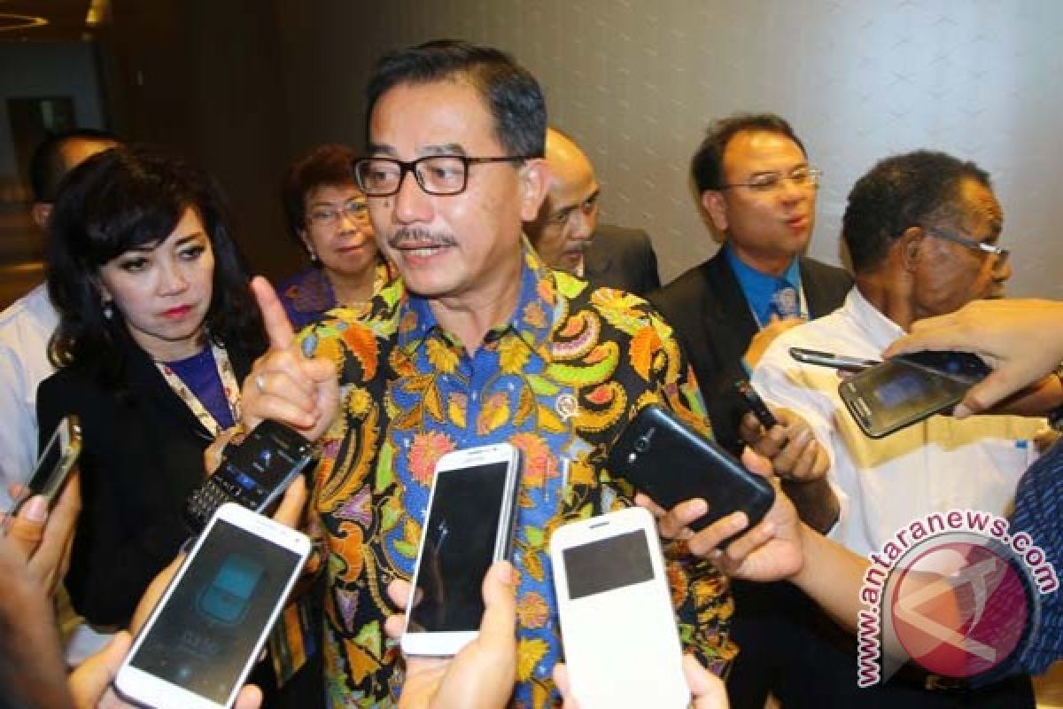
The initiative to explore cooperation was revealed shortly after a meeting held between the Minister of Agricultural and Spatial Planning/Head of BPN Ferry Mursyidan Baldan and Global Business Department Director of the Geospatial Informatix Korea Land Corporation Cho Beckhee at the Ministry complex building, here, Tuesday.
Minister Ferry stated that Indonesia and South Korea have so far faced similar problems related to land areas that have not been integrated in the "one-map policy."
South Korea is also encountering problems in identifying its land issues.
"Once the South Korean transportation minister wanted to build an underground pathway, however, during the construction process, the underground gas pipelines were damaged. It needs to be integrated," Ferry emphasized.
Currently, South Korea has implemented a spatial system named "Korea Land Information System," which had been built since 1995, and its integration commenced in 2005.
"They also had a single agency in charge of transport and land. South Korea has also faced similar problems wherein not all areas of land were registered, and thus, it started building the Korea Land Information System. They are aware that we also have a one-map policy," affirmed Ferry.
In Indonesia, a similar policy through the "one-map policy system" is targeted for completion in the next four years.
"We will form a small team to explore cooperation with South Korea on building an information system, starting with the development of human resources and technology," noted Ferry.
Ferry is optimistic that the development of the land information system can be realized at the earliest.
(Uu.A050/KR-BSR/A014)
Editor: Priyambodo RH
Copyright © ANTARA 2015
