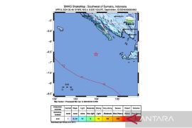
Meteorology, Climatology and Geophysics Agency (BMKG) reported that the epicenter of the earthquake was located at 4.47 degrees Southern Latitude and 94.30 Eastern Longitude at a depth of 10 km, some 615 km southwest of Mentawai Islands.
Indonesias more than 17 thousand islands are scattered along a belt of volcanic and seismic activity, known as the Pacific "Ring of Fire", and that the area is one of the most quake-prone places on Earth.
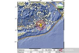
Earlier on Monday evening an earthquake measuring 4.5 on the Richter scale hit Ngada district in East Nusa Tenggara province.
The quake which struck at 03.39 p.m. local time was centered 9.51 degrees southern latitude and 121.04 degrees eastern longitude or 85 km southeast of Ngada at a depth of 54 km, BMKG said.(*)
Editor: Heru Purwanto
Copyright © ANTARA 2016


