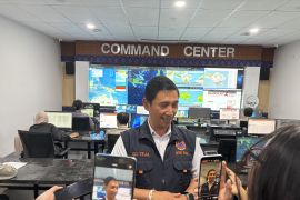
"The satellite is on an experimental remote sensing mission to monitor food resources," Lapans Head of Public Relations, Jasyanto, revealed.
The LAPAN-A3/LAPAN-IPB satellite was launched from Sriharikota, India.
According to Jasyanto, the third-generation satellite was developed by Lapan in cooperation with the Bogor Institute of Agriculture (IPB) for monitoring crops.
"The results can also be used to evaluate the governments programs in the maritime sector," he emphasized.
Jasyanto said the satellite was on a mission to monitor the movement of ships by utilizing the Automatic Sensor Identification System (AIS).
The satellite, weighing 115 kilograms, is able to identify land use and land cover as well as monitor environmental developments.
The remote sensing satellite has a four-band multi-spectral imaging camera, with a resolution of 18 meters and a swath width of 100 kilometers.
Lapan is also developing technology products that can be utilized for managing natural resources and the environment.
"Lapan will announce the development of the Maritime Surveillance System (MSS) based on aviation and aeronautical science and technology to implement the natural resources and environment management program," Jasyanto remarked.
He said the system will help to monitor natural resources and the environment.
Lapans featured products in the maritime field include the AIS, the National Earth Monitoring Systems, and the MSS.(*)
Editor: Heru Purwanto
Copyright © ANTARA 2016

