According to the Meteorology, Climatology and Geophysics Agency (BMKG), the latest earthquake rocked the region measuring 6.3 on the Richter scale at 7:16 a.m.
The earthquake was located at 10.57 degrees south latitude and 102.22 degrees east longitude at a depth of 10 kilometers.
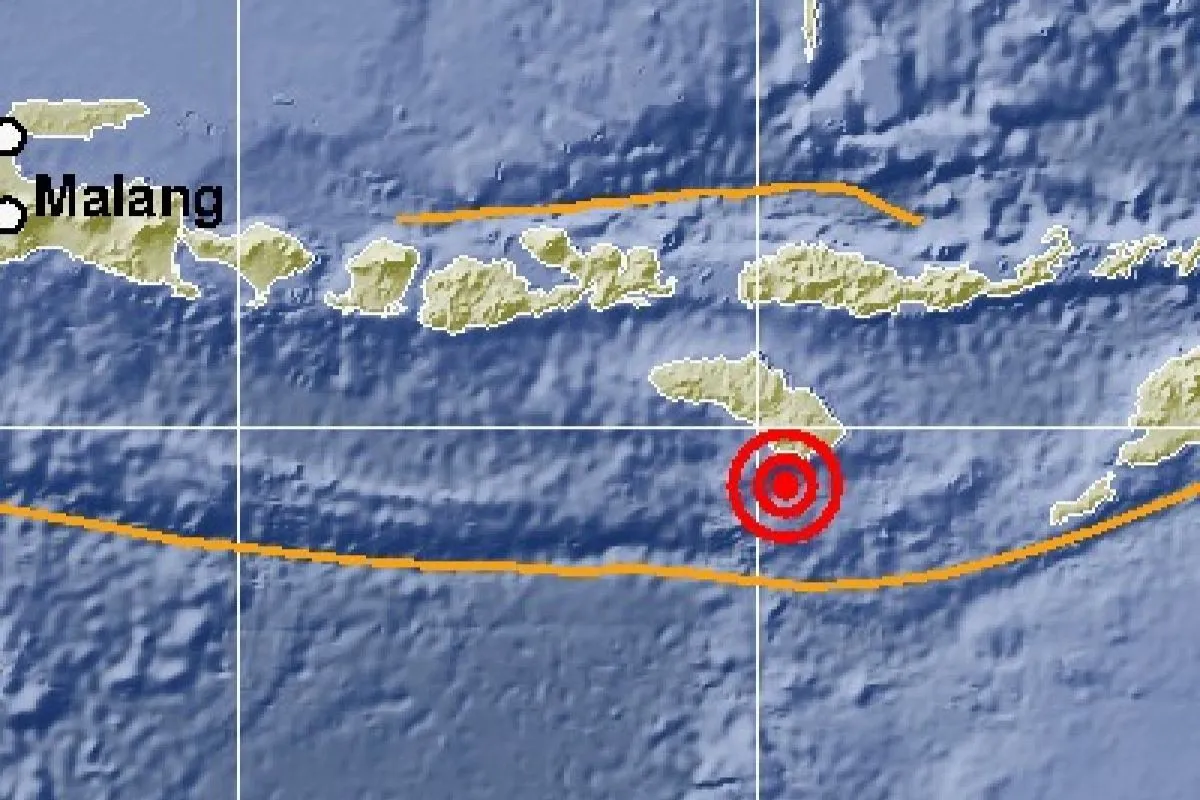
Earlier at 6:59 a.m. a magnitude-6.0 earthquake hit the region, located at 10.57 degrees south latitude and 120.25 degrees east longitude, or some 66 kilometers southwest of East Sumba at a depth of 10 kilometers.
Two more earlier tremors hit the region at 6:27 a.m measuring 5.3 on the Richter scale located at 10.48 degrees south latitude and 120.24 east longitude at a depth of 10 kilometers, and a magnitude-5.2 tremor at 6:12 a.m measuring at 5.2 on the Richter scale located at 10.56 degrees south latitude 120.20 degrees east longitude at a depth of 10 kilometers.
There was no potential of tsunami, BMKG said.
Reporting by Desi Purnamawati
Editing by Sri Haryati, Andi Abdussalam
Reporter: Antara
Editor: Fardah Assegaf
Copyright © ANTARA 2018


