"Six of the tremors measured above 5.0 and 46 others measured less than 5 on the Richter scale," Head of the BMKG Earthquake and Tsunami Center Rahmat Triyono said on Saturday.
Judging by their epicenters and hypocenter depths, the aftershocks were shallow earthquakes caused by the subduction activity of the Indo-Australia plate which dives under the Eurasia plate exactly in the Megathrust zone. The Megathrust zone is a subduction zone found in the Indian Ocean west of Sumatra.
The convergence of the two plates formed a subduction zone which is one of the very active sources of earthquakes in Sumatra, he said.
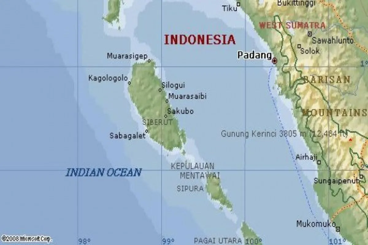
The tremors were felt by people in Padang Panjang, Bukittinggi, and Solok at II-III on the Modified Merchalli Intensity (MMI), Padang, Pariaman, and Painan at III-IV on MMI and Mentawai Islands (Tua Pejat, Pagai Selatan) at IV-V on MMI.
An earthquake of magnitude 6.0 rocked several areas in West Sumatra province at 04.27 p.m. on Saturday (Feb 2).
According to the BMKG, the earthquake was centered 117 kilometers southeast of Padangpar District in Mentawai Islands, at a depth of 17 kilometers.
The agency said the earthquake did not have the potential to cause a tsunami.
There were no immediate reports of damage or casualties.
Reporting by Ikhwan Wahyudi, Suharto
Editing by Rahmad Nasution
Reporter: Antara
Editor: Suharto
Copyright © ANTARA 2019


