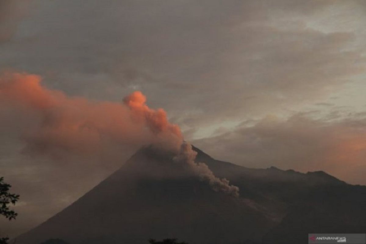
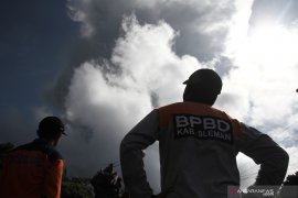
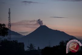
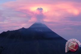
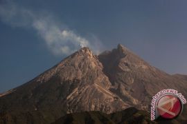
Mount Merapi, which is locate in the border of the Special Region of Yogyakarta and Central Java Province, again ejected hot cloud on Sunday morning according to the Center for Investigation and Development of Geological Disaster Technology (BPPTKG).
Head of BPPTKG Hanik Humaida in a press release said the hot cloud ejection occurred at 1:42 a.m. Western Indonesian Standard Time (WIB) and directed towards Kali Gendol River with a 1,000 meter sliding distance.
Meanwhile, based on the observation period of 00:00- 6 a.m. local time, the most active mountain in Indonesia experienced one time earthquake with 55 mm amplitude for 107 seconds, and three earthquake collisions with 5-25 mm amplitude for 52-87 seconds.
Visual observations showed that from the mountain crater thick white smoke came out at a height of up ip 20 meters above the top of the crater. The wind on the mountain blew mildly to moderately toward the northeast and northwest. The air temperature was 17-21 degrees Celsius, with air humidity 63-88 percent, and air pressure 654-709 mmHg.
Until now BPPTKG still maintains the status of Mount Merapi at Level II or Alert, and temporarily does not recommend climbing activities except for the purposes of investigation and research related to disaster mitigation.
BPPTKG urged residents not to carry out activities within a three kilometer radius from the peak of Mount Merapi, and suggested that residents living in the Kali Gendol groove area be vigilant because the distance of the hot cloud fall further away.
Translator: Eliswan Azly
Editor: Fardah Assegaf
Copyright © ANTARA 2019
