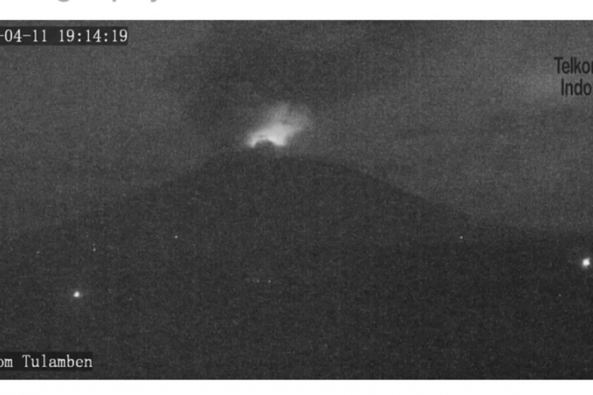
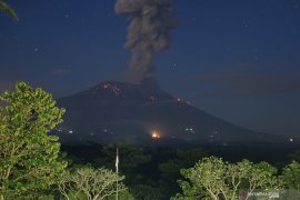
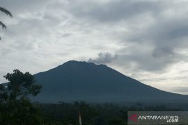
Made Rentin, the head of Bali's Regional Disaster Management Agency (BPBD) Chief, stated in Denpasar on Saturday morning that according to data obtained from the Agung volcano monitoring post, the volcanic ash column was thick and gray and leaning in the east and southeast directions. The seismogram recorded this eruption as having a maximum amplitude of 25 mm and lasting for two minutes and 57 seconds.
Rentin further noted that along with data on the eruption of the highest mountain on the Island of the Gods obtained from the Agung volcano monitoring post in Rendang, it also received a report from volunteers of Pasebayan, District of Karangasem.
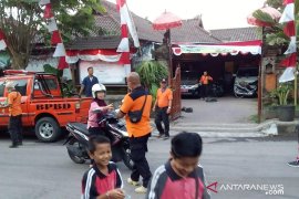
Rentin noted that Pesebayan volunteers had reported at 5:10 a.m. local time that Desa Ban, Kubu Subdistrict, Karangasem and its surroundings, including Cutcut Hamlets, Tongtongan, Bonyoh, and Temakung, were the areas exposed to the Mount Agung eruption.
The PVMBG has also called on people living around Mount Agung as well as climbers, visitors, and tourists to not conduct any activities in the demarcated danger zone, specifically in all areas within a four-kilometer radius from Mount Agung's peak.
The estimated danger zone is dynamic and under constant evaluation and can be changed at any time in line with the developments related to the most current or the latest Mount Agung observation data.
Moreover, people residing and conducting activities along the river banks around the Gunung Agung have been urged to maintain vigil in case of possible secondary danger arising from lava rains that can occur particularly in the rainy season and if the eruption material is still exposed in the peak area. The land area of the lava rain follows the rivers upstream of Mount Agung.
EDITED BY INE
Translator: Eliswan Azly
Editor: Fardah Assegaf
Copyright © ANTARA 2019
