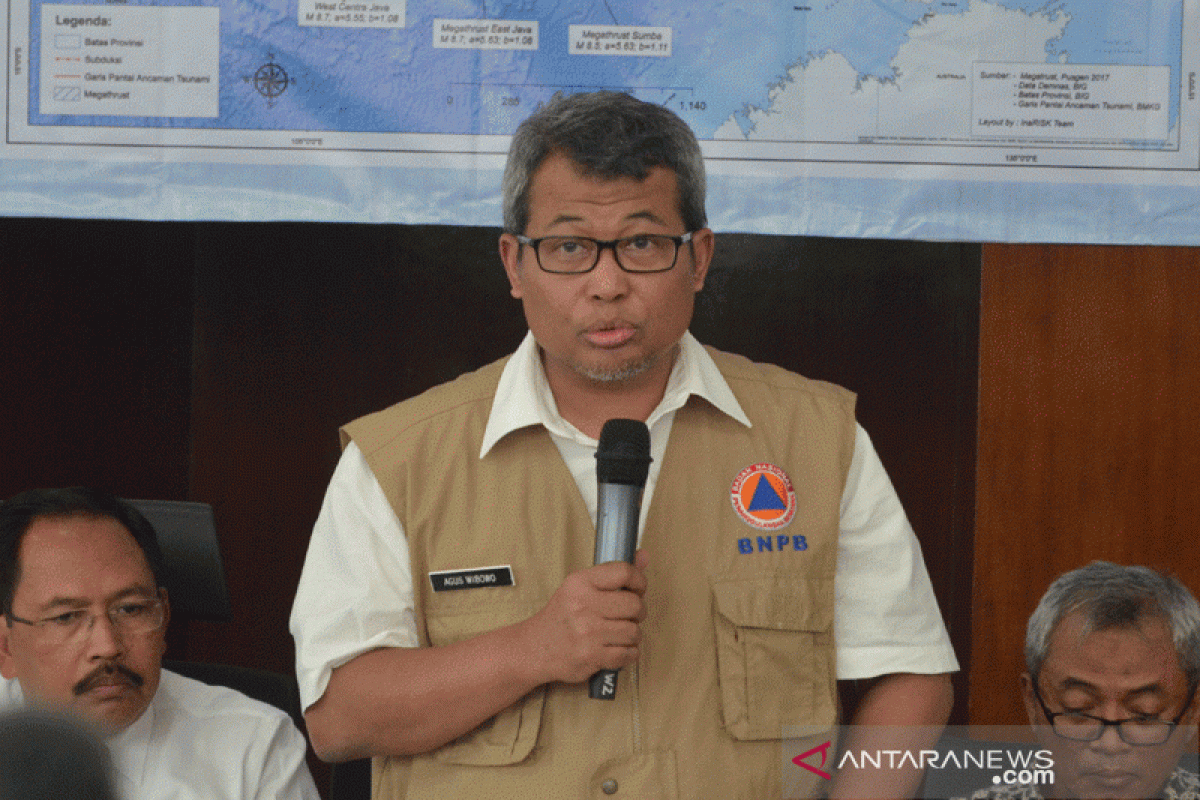
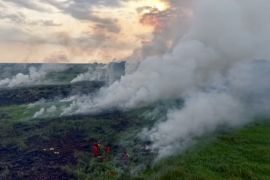
"A total of 773 hotspots, classified as medium category (30 to 70 percent) and high category (equal or above 80 percent), were detected on Wednesday (August 7) at 7:25 western Indonesia time," BNPB acting spokesman Agus Wibowo stated here on Wednesday.
Of the 773 hotspots, 549 are medium-category hotspots and 224 are categorized as high category, as monitored by the Aqua, Terra, and SNNP satellites in the National Institute of Aeronautics and Space (LAPAN) for 24 hours, until Wednesday at 7:25 western Indonesia time.
Most hotspots of high category were detected in West Kalimantan, reaching 52; Central Kalimantan, 41; North Kalimantan, 34; East Kalimantan, 18; and South Sumatra, 15.
Meanwhile, hotspots categorized in the medium category were mostly detected in West Kalimantan, reaching 116; Central Kalimantan, 144; East Kalimantan, 48; and North Kalimantan, 43.
Based on the SiPongi Forest and Land Fire Monitoring System of the Ministry of Environment and Forestry, fires have ravaged some 135,749 hectares of forest and land in 2019.
The area of forest and land fires was calculated based on an analysis of Landsat 8 OLI /TIRS satellite imagery that was "overlaid" with hotspots distribution data as well as field check report on hotspots.
Related news: BMKG identifies 18,895 hotspots in Southeast Asia, Papua New Guinea
Related news: Satellites identify 152 hotspots on Sumatra Island
Translator: Dewanto Samodro, Yuni Arisandy
Editor: Suharto
Copyright © ANTARA 2019
