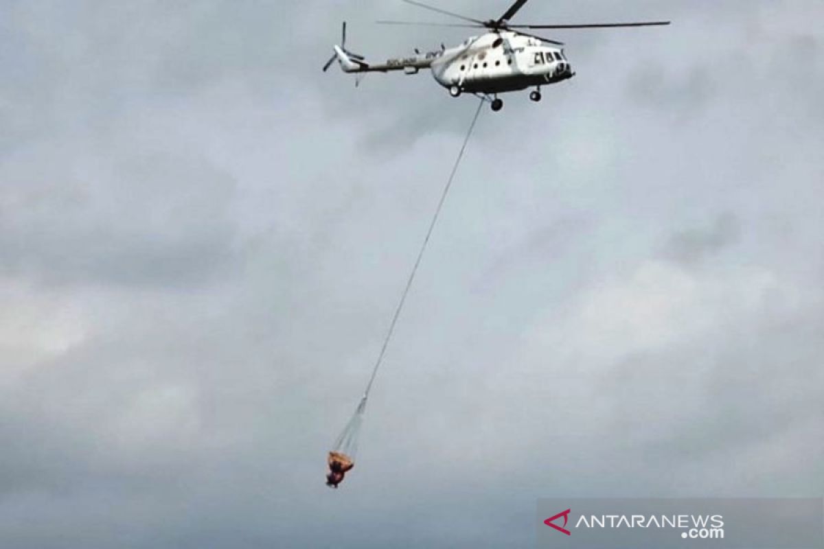
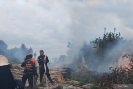
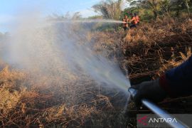
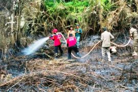
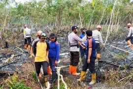
"A turbulence caused the MI-8 helicopter to shake owing to which it later had to return to its base at the Abdul Rahman Saleh Air Force Base in Malang, East Java," Agus Wibowo, spokesman of the National Disaster Mitigation Agency (BNPB), noted in a statement on Monday evening.
The turbulence was caused by strong wind that could endanger the safety of the helicopter deployed to conduct water bombing on the wildfires at identified spots, notably Maha Pena, Watu Bagong, and Curah Sriti areas.
The strong wind reached speed of 25 knots, while the normal speed for aviation is some 10 knots.
The water bombing operation was halted and would resume on Tuesday.
Wildfires were observed for the foremost instant on the twin mountains of Mount Arjuno and Mount Welirang in July 2019 at a height of 3,200 mdpl, or near the mountain tops, mostly covered by savanna.
The fight against the fires was also hindered by difficult terrain and the absence of water sources in proximity to the location.
According to the agency's data as per Oct 21, 2019, wildfires have razed several mountain areas on Java Island, such as Mount Cikuray and Mount Ringgit, in addition to Mount Arjuno and Mount Welirang.
The authorities have managed to put out wildfires on Mount Malabar, Mount Merapi, and Mount Andong.
Related news: Climbing activities on Mount Argopuro stalled by wildfire
During the January-August 2019 period, a total of 328,722 hectares of forest and peatland areas were razed by fires across Indonesia.
A wildfire blazing through the protected forest area on the slope of Mount Argopuro since Saturday (Oct 19) resulted in access being closed to climbers.
The wildfires were triggered by the current prolonged drought induced by the El Nino natural phenomenon.
In the meantime, very strong wind blowing over Lumajang District, East Java, marred efforts to extinguish forest fires on the slope of Mount Semeru.
A joint team comprising the national park's officers as well as police and military personnel along with the local BPBD officers were deployed to fight the wildfire.
The blaze razed an area measuring 115 hectares on Mount Semeru's slope. A water source is located some four kilometers from the fire.
Moreover, the hiking trail to the top of Mount Argopuro was temporarily closed from an entry located in Baderan Village, Sumbermalang Sub-district, and from Probolinggo, East Java, Budi Narwanto, head of the Situbondo Disaster Mitigation Office (BPBD), revealed here on Monday.
The mountain was closed indefinitely for climbers as of Sunday (Oct 20), he stated.
Strong wind, inhospitable terrain, and extensive presence of dried twigs have deterred efforts to put out the blaze.
Related news: Very strong wind hinders wildfire-fighting efforts on Mount Semeru
Related news: Firefighters attempt to extinguish fire in West Aceh
Translator: Fiqih Arfani, Fardah
Editor: Sri Haryati
Copyright © ANTARA 2019
