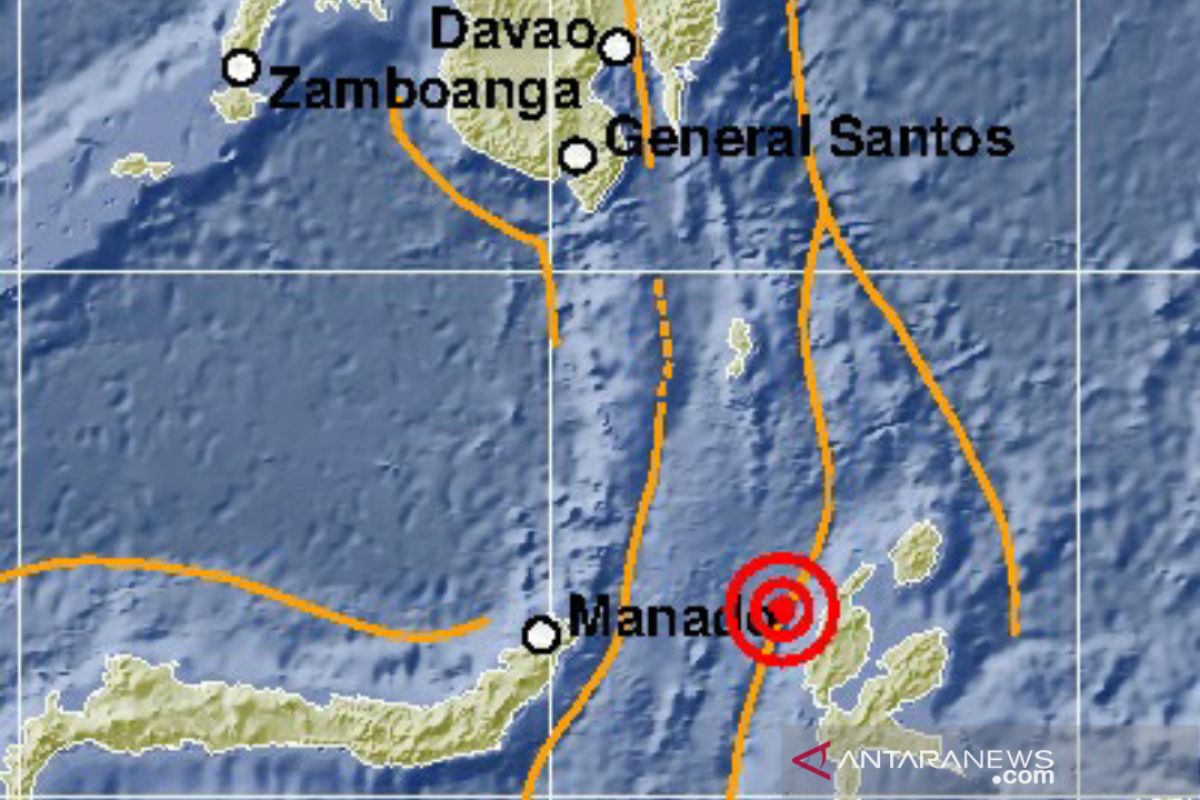
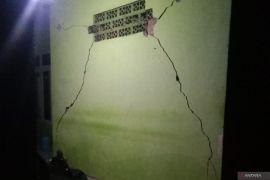
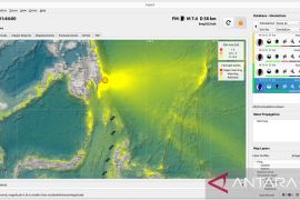
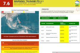
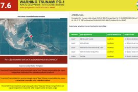
The epicenter of the earthquake that struck at 21:09:11 WIB (West Indonesia Standard Time) was located at 1.78 degrees northern latitude and 127 degrees eastern longitude, at a depth of 86 kilometers, Chief of BMKG's Earthquake and Tsunami Information Section, Tiar Prasetya, remarked in Jakarta on Sunday night
"The tremor was felt in Ternate City at III MMI (Modified Mercalli Intensity); Manado, Bitung, Minut, and Siau at II-III MMI; and Sangihe at II MMI," he noted.
North Maluku is one of the Indonesian provinces prone to earthquakes.
Earlier, at 13:11:54 WIB, an earthquake of magnitude 6.9 rocked the Philippines bordering North Maluku. The tremor, caused by local fault in Mindanao, the Philippines, was felt by people living as far away as Melonguane City in the Indonesian province of North Sulawesi.
The magnitude of the earthquake was later updated to 6.8 on the Richter scale.
The epicenter of the earthquake was located at 6.64 degrees northern latitude and 125.24 degrees eastern longitude, or 334 kilometers northwest of Melonguane, at a depth of 37 kilometers.
Related news: Six houses in Bitung damaged in North Maluku's recent earthquake
Related news: Three wounded, 36 buildings damaged in North Maluku's earthquake: BNPB
Related news: Aftershocks jolt North Maluku following 7.1-magnitude earthquake: BMKG
Translator: Desi Purnamawati/Suharto
Editor: Yuni Arisandy Sinaga
Copyright © ANTARA 2019
