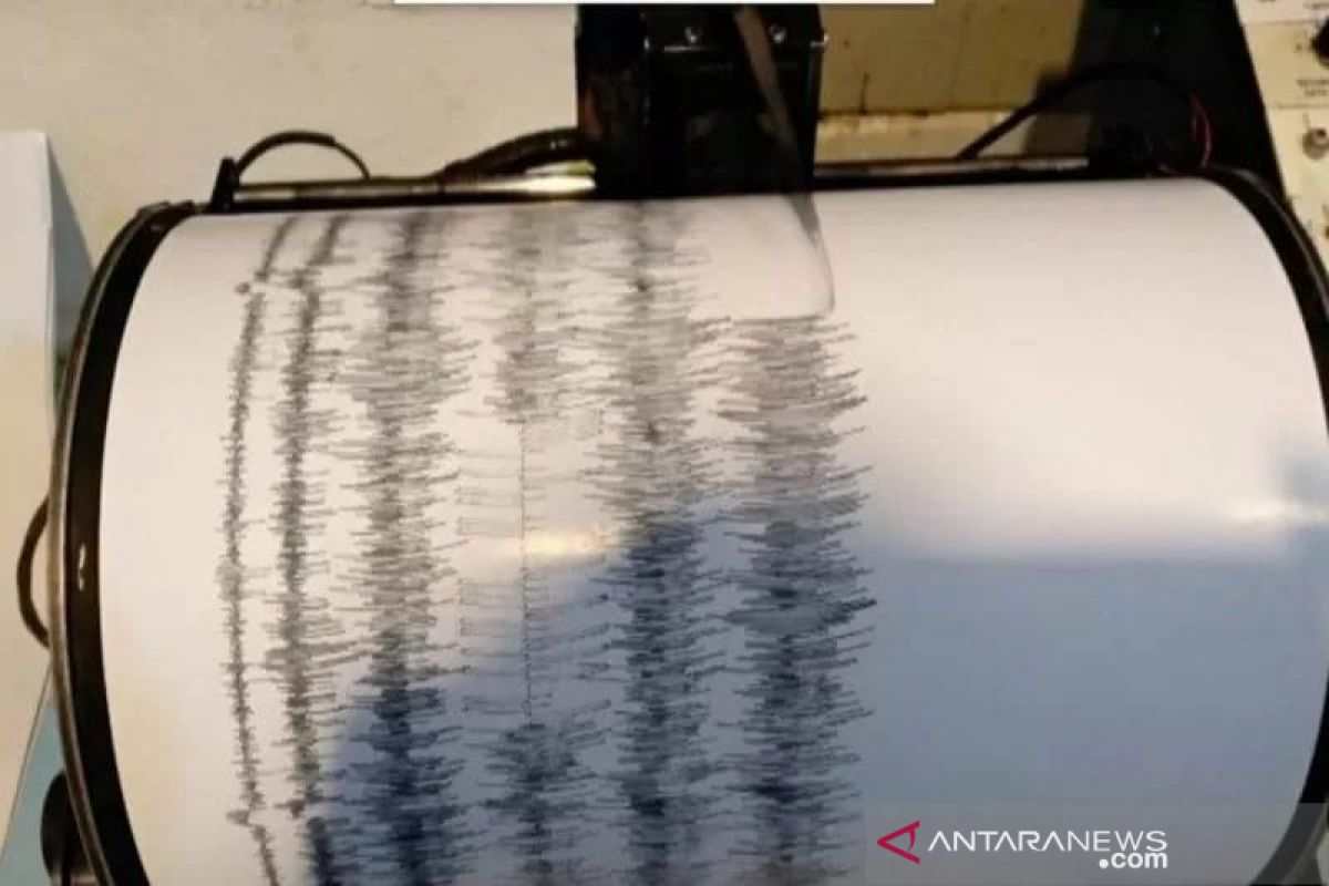
The quake’s epicenter was located some 40 kilometers away from the southwest of the Tua Pejat area, at a depth of 28 kilometers, according to the Padang Panjang Station of the Meteorology, Climatology, and Geophysics (BMKG) Agency.
The BMKG-Padang Panjang Station’s spokesman, Mamuri, stated that the quake did not have the potential to trigger a tsunami, and local residents were advised to remain calm.
Located on the Circum-Pacific Belt, also called the Ring of Fire, where several tectonic plates meet and cause frequent volcanic and seismic activities, Indonesia is susceptible to natural disasters, including earthquakes and volcanic eruptions.
Repeated earthquakes have been registered in the areas of Mentawai Islands District in West Sumatra Province over the past few years.
On Feb 2, 2019, for instance, two strong earthquakes jolted the areas of Mentawai Islands. The first quake, measuring 5.3 on the Richter scale, was located around 106 kilometers (km) away from southeast of Mentawai, at a depth of 10 km.
In the aftermath of the first quake that hit the areas of Mentawai Islands District at 4:03 p.m. local time, the second earthquake, measuring 6.0 on the Richter scale, rocked the areas at around 4:27 p.m. local time.
The BMKG reported that epicenter of the aftershock was located some 117 km away from Mentawai Islands District, or some 246 km away from southwest of Padang City, at a depth of 17 km.
On Sept 30, 2009, a strong earthquake jolted Padang City and several other areas of West Sumatra, killing 1,117 people and wounding nearly three thousand residents. The catastrophe also caused damage to over 260 thousand houses.
In 2018, the BMKG recorded that Indonesia had borne the impact of 11,577 earthquakes, including several causing grave casualties, with the figure considerably increasing from that in 2017.
The BMKG data indicated that 11,577 earthquakes, with varying magnitudes and depths, hit during 2018, while just 7,172 earthquakes were recorded in 2017.
This is indicative of the fact that Indonesia had borne witness to a major spike in the number of tectonic earthquakes in 2018.
Several earthquake-related events that had struck Indonesia last year were the first of a kind to have occurred, such as the liquefaction in Palu, a tsunami that hit prior to the issuance of a tsunami warning in Palu, and the Sunda Strait Tsunami. Related news: South Kuta in Bali hit by 6.6-magnitude quake
Related news: President instructs to expedite post-quake reconstruction in NTB
EDITED BY INE
Translator: Laila S, Rahmad Nasution
Editor: Fardah Assegaf
Copyright © ANTARA 2020


