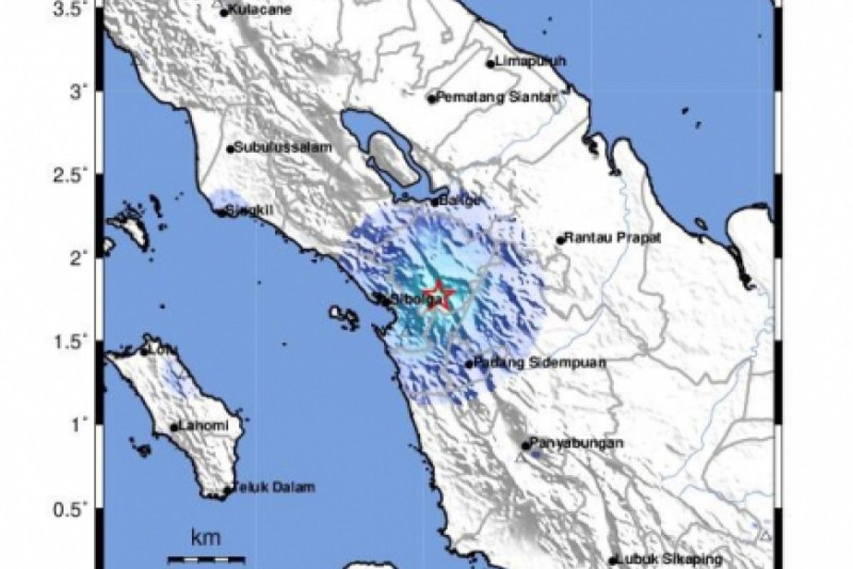
The earthquake of Modified Mercalli Intensity (MMI) III that hit Central Java was felt by the residents of Yogyakarta, Mataram, Purworejo, and Kuta in Bali.
The second 5.4-magnitude quake hit Rangkasbitung, Banten Province, with the epicenter located at 6.69 degrees latitude and 106.14 degrees longitude, at a depth of 82 km and 18 km southwest of Rangkasbitung.
Related news: Earthquakes hit several regions in Indonesia
The third earthquake, measuring 5.0 on the Richter Scale, rattled Pangandaran, West Java, with the epicenter situated at - 9.42 degrees latitude and 107.27 degrees longitude, at a depth of 10 km, and some 234 km southwest of Pangandaran.
The fourth tremor jolted Enggano, Bengkulu Province, with the epicenter situated at 7.29 degrees southern latitude and 103.24 degrees eastern longitude, at a depth of 10 km, some 241 km southeast of Enggano.
All of these quakes had no potential to trigger a subsequent tsunami, and no reports of damage were so far received after the tremors.
Indonesia lies in the Pacific Ring of Fire, which is an area geographically having high volcanic and seismic activities.
Related news: Indonesia hit by 11,577 earthquakes in 2018
Related news: NEC completes construction of earthquake detection system in Indonesia
Translator: Desi P, Fardah
Editor: Yuni Arisandy Sinaga
Copyright © ANTARA 2020
