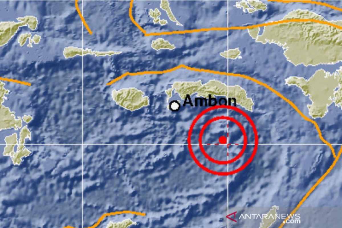
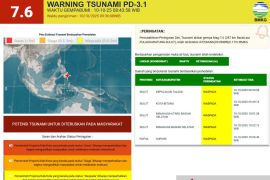
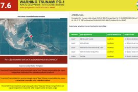
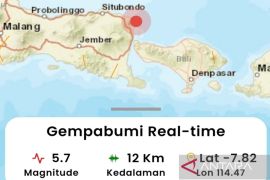
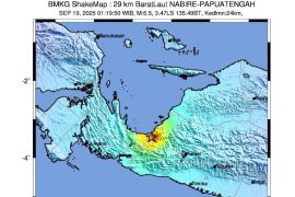
The quake, which struck at 7:45 West Indonesia Standard Time (WIB), was centered 4.86 degrees southern latitude and 129.82 degrees eastern longitude, at a depth of 193 kilometers, Chief of the Earthquake and Tsunami Center of the Meteorology, Climatology, and Geophysics Agency (BMKG) Rahmat Triyono noted.
The tremor was felt by people at Modified Mercalli Intensity (MMI) scale III in Ambon and Sorong; MMI II-III in Karatu, Banda, and Manokwari; and MMI II in Kaimana.
A quake of MMI II was felt by some people that caused the hung light articles to shake, while a quake of MMI III could be felt indoors akin to the movement of a truck.
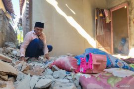
No immediate reports of material damage, injuries, or fatalities were reported.
Tuesday's quake was the latest in a series of quakes measuring above 5.0 on the Richter scale to have hit Banda Sea.
On Sept 4, a quake of magnitude 5.3 hit Banda Sea, with an epicenter 250 kilometers northeast of Maluku Barat Daya District, at a depth of 225 kilometers.
The Sept-4 quake came nearly two weeks after a strong quake of magnitude 6.9 hit Banda Sea on Aug 20, with an epicenter some 171 kilometers (km) northeast of Larantuka, East Nusa Tenggara (NTT), and 172 km southwest of Wakatobi, Southeast Sulawesi.
The quake was followed by an aftershock, with a magnitude of 5.0, later in the day.
Indonesia sits on the geographically active “Pacific Ring of Fire” and holds some 40 percent of the world's geothermal reserves.
The Ring of Fire, or the Circum-Pacific belt, is the world’s greatest earthquake belt, according to Live Science, owing to fault lines running from Chile to Japan and Southeast Asia.
Related news: 5.9-magnitude earthquake jolts Indonesia's West Halmahera district
Related news: Undersea 5.0-magnitude quake hits Maluku's Seram Bagian Timur District
Close
EDITED BY INE
Translator: Desi Purnamawati/Suharto
Editor: Fardah Assegaf
Copyright © ANTARA 2020
