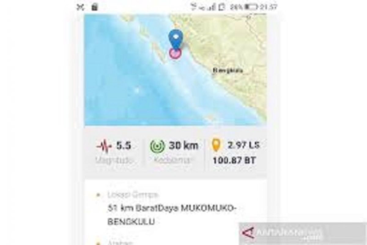
The epicenter of the quake that occurred at 00.55 a.m. local time was located around 125 km away from southwest of Mukomuko District at a depth of 27 kilometers, the Meteorology, Climatology, and Geophysics Agency (BMKG) revealed.
This early Sunday's earthquake did not trigger a tsunami. It was the second occurrence following the 5.4-magnitude earthquake that rocked the area on Saturday morning.
The agency urged local residents to stay calm but maintain vigilant, and to get rid of baseless issues. Instead, they are advised to keep updated with information disseminated by BKMG and other government agencies.
Located in the southwestern coast of Sumatra, Bengkulu is noted as one of provinces in the island which is prone to earthquake and tsunami. Several provinces situated in the northern parts of Sumatra are also vulnerable to similar disasters.
According to the Deli Serdang Meteorology, Climatology, and Geophysics Agency (BMKG) in North Sumatra Province, there had been 156 earthquakes that rocked the northern parts of Sumatra Island from Sept 25 to Oct 1, 2020.
On Sept 30, for instance, earthquakes jolted the districts of Aceh Barat Daya, Nagan Raya, Bener Meriah, and Aceh Jaya in Aceh Province.
Earthquakes regularly rock various parts of Indonesia due to the fact that the country lies on the Circum-Pacific Belt, also known as the Ring of Fire, where several tectonic plates meet and cause frequent volcanic and seismic activities.
One of the deadliest earthquakes in Indonesia that occurred over these past two years was the one that struck several areas of Central Sulawesi Province.
The 7.4-magnitude earthquake which was followed by tsunami that hit the areas of Palu city and the districts of Donggala, Paringi Moutong, and Sigi on Sept 28, 2018, claimed 2,102 lives, injured 4,612, and rendered 680 others missing.
A total of 68,451 homes were seriously damaged, and 78,994 people were displaced.
Due to a large number of rotting corpses, the authorities and humanitarian workers decided to bury them in mass graves.
Meanwhile, material losses inflicted by the twin deadly disasters were estimated to reach Rp15.29 trillion.
The provincial capital of Palu took the brunt of the disaster, with material damage and losses recorded at Rp7.6 trillion, or 50 percent of the total estimate, according to the National Disaster Mitigation Agency (BNPB).
The material damage and losses in Sigi district were recorded at Rp4.9 trillion, or 32.1 percent, Donggala district at Rp2.1 trillion, or 13.8 percent, and Parigi Moutong district at Rp631 billion, or 4.1 percent.
The material damage in the four affected areas reached an estimated Rp13.27 trillion, while the material losses reached approximately Rp2.02 trillion, the agency revealed in October 2018.
Related news: Earthquake of magnitude 5.4 rattles Buton, South Buton districts
Related news: Earthquake of magnitude 5.1 hits Waikabubak Town in Sumba Barat
Related news: 5.9-magnitude earthquake jolts Indonesia's West Halmahera district
Translator: Asep F, Rahmad Nasution
Editor: Sri Haryati
Copyright © ANTARA 2020
