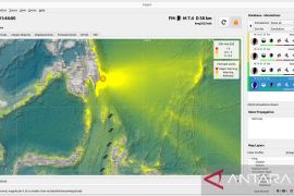
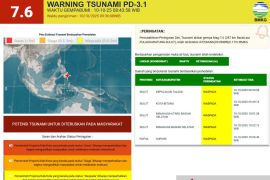
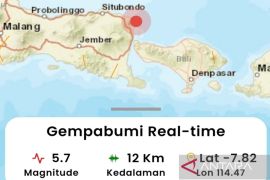
The quake's epicenter was located some 19 kilometers away from south of Waikabubak Town at a depth of 65 kilometers, Head of the Meteorology, Climatology, and Geophysics Agency (BMKG)-Waingapu Sumba Timur Office Arief Tyastama stated.
Taking into account its epicenter and depth, the earthquake was categorized as a moderate-intensity one owing to deformation of the seabed's continental crust and the phenomenon of "oblique-normal fault", he explained.
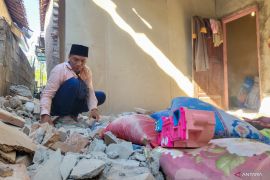
Tyastama noted that the quake's tremors were felt by those in areas, including Tambolaka, Waitabula, Waingapu, and Dompu, though no reports were received of damages in the aftermath of the earthquake.
Earthquakes regularly hit various parts of Indonesia since it lies on the Circum-Pacific Belt, also called the Ring of Fire, where several tectonic plates meet and cause frequent volcanic and seismic activities.
Among the natural disasters to have hit Indonesia, the earthquake experienced in several areas of Central Sulawesi Province was one of the deadliest over these past two years in the country.
The 7.4-magnitude earthquake that was followed by a tsunami that hit the areas of Palu City and the districts of Donggala, Paringi Moutong, and Sigi on Sept 28, 2018, claimed 2,102 lives, injured 4,612, and rendered 680 others missing.
A total of 68,451 homes incurred serious damage, and while 78,994 people were displaced.
The authorities and humanitarian workers ultimately took the decision to bury the huge numbers of rotting corpses in mass graves.
Meanwhile, the twin deadly disasters caused material losses estimated to reach Rp15.29 trillion.
The provincial capital of Palu bore the brunt of the disaster, with material damage and losses recorded at Rp7.6 trillion, or 50 percent of the total estimate, according to the National Disaster Mitigation Agency (BNPB).
The material damage and losses in Sigi District were recorded at Rp4.9 trillion, or 32.1 percent; while Rp2.1 trillion, or 13.8 percent, in Donggala District; and Rp631 billion, or 4.1 percent, in Parigi Moutong District.
Material damage in the four affected areas reached an estimated Rp13.27 trillion, while material losses were recorded at approximately Rp2.02 trillion, the agency revealed in October 2018.
EDITED BY INE
Related news: 156 earthquakes have jolted northern parts of Sumatra in a week: BMKG
Related news: Series of quakes of over 5.0-magnitude hit Indonesia on Monday
Translator: Bernadus T, Rahmad Nasution
Editor: Fardah Assegaf
Copyright © ANTARA 2020

