The BMKG's analysis revealed that the quake was epicentered 71 kilometers southwest of Bone Bolango, at a depth of 131 kilometers.
The tremor was felt in the provincial capital of Gorontalo at Modified Mercalli Intensity (MMI) II-III, at MMI II-III in Luwuk City, at MMI II in Manado City, and at MMI II in Bolaang Mongondow Selatan.
The quake was also felt at MMI II-III in Ternate, at MMI II in Tidore, at MMI II-III in Morowali, at MMI II in Labuha, and at MMI II-III in Boroko Bolaang Mongondow.
No tsunami warning was issued following the quake.
The quake was of moderate intensity caused by subduction of the Sulawesi sea plate.
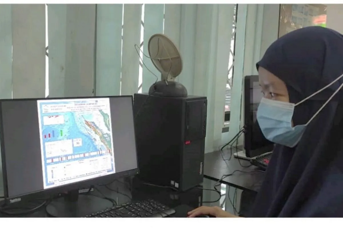
The BMKG reported that three earthquakes, measuring above 5.0 on the Richter scale, struck Indonesia since early Thursday.
The first quake of magnitude 5.7 rocked Bengkulu Province at 00:28:35 West Indonesia Standard Time (WIB), the second 6.2-magnitude earthquake rattled Tomini Bay in Central Sulawesi Province at 03:59:37 WIB, and the third quake of magnitude 5.0 shook Aceh Province at 08:27:30 WIB, according to the agency.
No immediate report was received of casualties and material damage caused by the three quakes.
Indonesia sits on the so-called Pacific Ring of Fire, a volcanologically active terrestrial chain where earthquakes and volcanic eruptions can occur any time.
Related news: Three moderate-intensity quakes hit Indonesia since early Thursday
Related news: Magnitude-5.1 quake rattles North Sulawesi's Bitung port city
EDITED BY INE
Translator: Fauzi/Suharto
Editor: Fardah Assegaf
Copyright © ANTARA 2021


